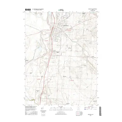
2016 Map of Circleville
USGS Topo · Published 2016About this map
Circleville serves as the focal point of this 2016 survey, situated along the Scioto River where the Pickaway Plains meet the more varied terrain of the Scippo Creek watershed. The landscape is characterized by a dense concentration of family and community burial grounds, including the Saint Joseph Cem, Forest Cem, and several farm-based plots such as the Shortridge Farm Cem and Rife Farm Cem. These features, alongside landmarks like Ohio Christian Univ and the Pickaway County Memorial Airport, illustrate the intersection of historical agricultural roots and contemporary development.
Find a feature on this map
70 named features on this map. Tap any name to fly to it.
Don’t see what you’re looking for? This feature index may not catch every label — zoom into the map to look around manually.
Map Details
Editions of this 2016 Circleville Map
This is the sole edition of this map. No revisions or reprints were ever made.
Other maps of this area

1906 · Chillicothe
USGS Topo · 1:62,500

1908 · Chillicothe
USGS Topo · 1:62,500

1911 · Era
USGS Topo · 1:62,500

1912 · Roxabell
USGS Topo · 1:62,500

1913 · Era
USGS Topo · 1:62,500

1914 · Roxabell
USGS Topo · 1:62,500

1914 · Circleville
USGS Topo · 1:62,500

1943 · Era
USGS Topo · 1:62,500

1943 · Circleville
USGS Topo · 1:62,500

1944 · Roxabell
USGS Topo · 1:62,500