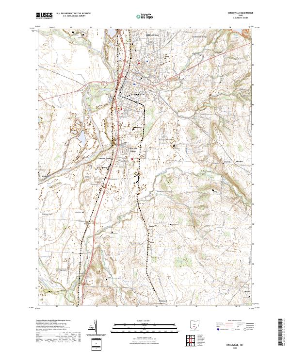
2023 Map of Circleville
USGS Topo · Published 2023About this map
The Pickaway County Courthouse serves as the central anchor of Circleville, a city defined by its historic radial grid and proximity to the Scioto River. This modern survey details the expansion of residential developments like Knollwood Village and Jefferson Estates alongside the established institutional presence of Ohio Christian University. The landscape to the south transitions into the Pickaway Plains, where the terrain is punctuated by small water bodies like Hitler Pond and Davenport Pond.
Find a feature on this map
110 named features on this map. Tap any name to fly to it.
Don’t see what you’re looking for? This feature index may not catch every label — zoom into the map to look around manually.
Map Details
Editions of this 2023 Circleville Map
This is the sole edition of this map. No revisions or reprints were ever made.
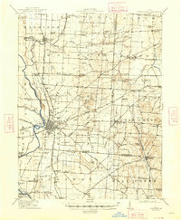
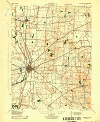
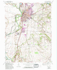
Historical Maps of Eastmoor Subdivision Through Time
4 maps found