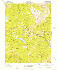
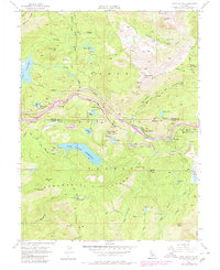
1955 Map of Cisco Grove
USGS Topo · Published 1956About this map
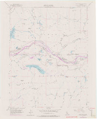
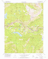
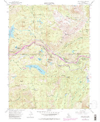
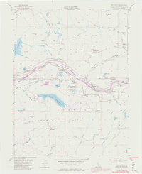
Cisco Grove and the high Sierra Nevada landscape are documented here during a period of mid-century infrastructure expansion. The Southern Pacific railroad and U. S. 40 parallel the South Yuba River, marking a critical transportation corridor through the mountains. This map captures the intersection of recreation and industry, showing the Carlisle Mine and a Microwave Relay Station alongside youth organizations like the Marin-Sierra Boy Scout Camp and 4H Club Camp. The terrain is characterized by dramatic elevation shifts, from the heights of Signal Peak and Red Mountain down to the basins of Lake Valley Reservoir and numerous alpine lakes such as Crystal Lake and Huysink Lake. The presence of a Ranger Station at Big Bend and the Gaging Station reflects the active management of the Tahoe National Forest at this time.
Find a feature on this map
55 named features on this map. Tap any name to fly to it.
Don’t see what you’re looking for? This feature index may not catch every label — zoom into the map to look around manually.
Map Details
Editions of this 1955 Cisco Grove Map
9 editions found
Other maps of this area

1891 · Colfax
USGS Topo · 1:125,000

1891 · Truckee
USGS Topo · 1:125,000

1892 · Colfax
USGS Topo · 1:125,000

1893 · Truckee
USGS Topo · 1:125,000

1894 · Colfax
USGS Topo · 1:125,000

1895 · Truckee
USGS Topo · 1:125,000

1898 · Colfax
USGS Topo · 1:125,000

1900 · Colfax
USGS Topo · 1:125,000

1902 · Colfax
USGS Topo · 1:125,000

1932 · Truckee
USGS Topo · 1:96,000