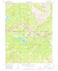
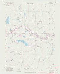
1955 Map of Cisco Grove
USGS Topo · Published 1980About this map
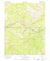
Cisco Grove and the high Sierra Nevada landscape sit at the intersection of critical transcontinental infrastructure and alpine recreation during the mid-20th century. The Southern Pacific railroad and Interstate 80 corridor follow the path of the South Yuba River, marking a historic transit artery through Yuba Pass. This area, managed within the Tahoe National Forest, shows a distinct pattern of land use where industrial mining at the Carlisle Mine and water management at Lake Valley Reservoir exist alongside organized youth camps like the Marin-Sierra Boy Scout Camp and the 4H Club Camp.
Find a feature on this map
69 named features on this map. Tap any name to fly to it.
Don’t see what you’re looking for? This feature index may not catch every label — zoom into the map to look around manually.
Map Details
Editions of this 1955 Cisco Grove Map
9 editions found
Other maps of this area

1891 · Colfax
USGS Topo · 1:125,000

1891 · Truckee
USGS Topo · 1:125,000

1892 · Colfax
USGS Topo · 1:125,000

1893 · Truckee
USGS Topo · 1:125,000

1894 · Colfax
USGS Topo · 1:125,000

1895 · Truckee
USGS Topo · 1:125,000

1898 · Colfax
USGS Topo · 1:125,000

1900 · Colfax
USGS Topo · 1:125,000

1902 · Colfax
USGS Topo · 1:125,000

1932 · Truckee
USGS Topo · 1:96,000