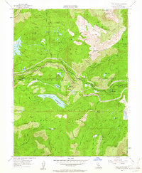
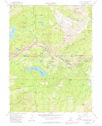
1955 Map of Cisco Grove
USGS Topo · Published 1961About this map
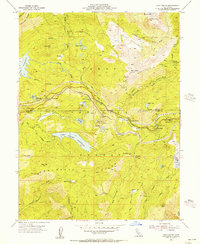
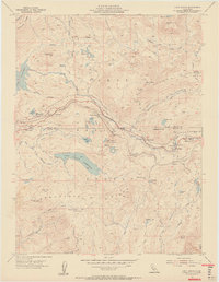
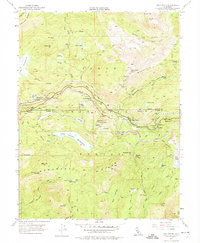
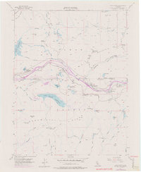
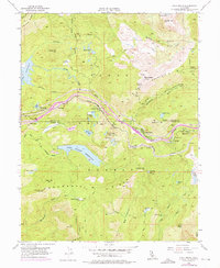
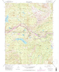
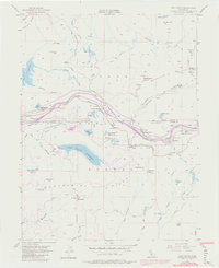
Southern Pacific rail lines and high-altitude infrastructure define this mid-century view of the Sierra Nevada mountains near the Nevada and Placer County line. Modern technological markers like the Cisco Butte 8249 Airway Beacon and a Microwave Relay Sta stand alongside the historic Carlisle Mine, illustrating the transition from resource extraction to communication and transportation hubs. Water management is a central theme, evidenced by Lake Valley Reservoir, Spaulding Lake, and a Gaging Sta along the South Yuba River. Settlements and recreation sites, including Cisco Grove, Big Bend, and the Marin-Sierra Boy Scout Camp, dot the landscape between massive peaks like Signal Peak and Red Mountain. The map also captures several mountain meadows and flats such as Pelham Flat and Pierce Meadow, which hint at the region's earlier ranching history.
Find a feature on this map
58 named features on this map. Tap any name to fly to it.
Don’t see what you’re looking for? This feature index may not catch every label — zoom into the map to look around manually.
Map Details
Editions of this 1955 Cisco Grove Map
9 editions found
Other maps of this area

1891 · Colfax
USGS Topo · 1:125,000

1891 · Truckee
USGS Topo · 1:125,000

1892 · Colfax
USGS Topo · 1:125,000

1893 · Truckee
USGS Topo · 1:125,000

1894 · Colfax
USGS Topo · 1:125,000

1895 · Truckee
USGS Topo · 1:125,000

1898 · Colfax
USGS Topo · 1:125,000

1900 · Colfax
USGS Topo · 1:125,000

1902 · Colfax
USGS Topo · 1:125,000

1932 · Truckee
USGS Topo · 1:96,000