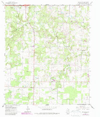
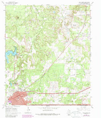
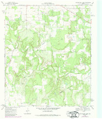
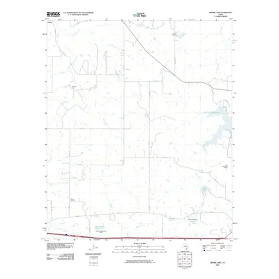
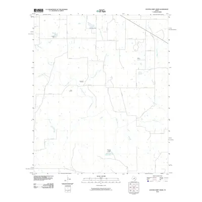
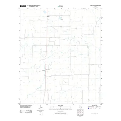
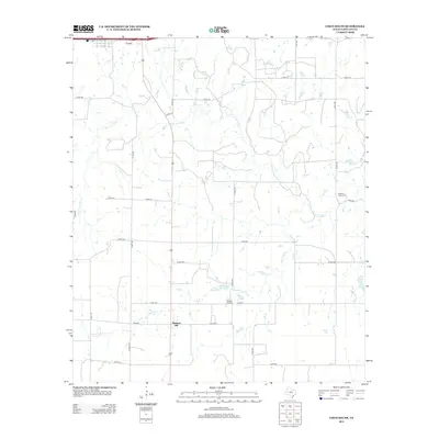
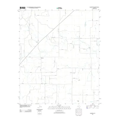
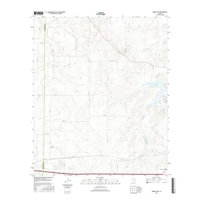
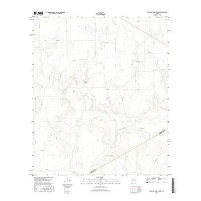
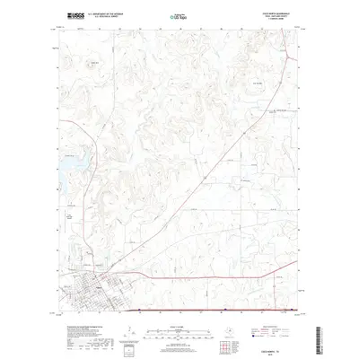
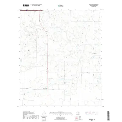
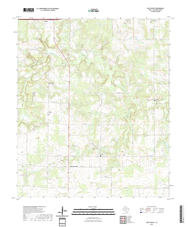
1966 Map of Cisco South
USGS Topo · Published 1987About this map
The Corporate Boundary of Cisco occupies the northwest corner of this West Texas landscape, as it appeared in the mid-1960s. The terrain is defined by the winding course of the South Fork Leon River, which is fed by numerous tributaries including Dead Horse Creek and Greer Creek. Rural life outside the town center is anchored by small settlements and community markers such as Pleasant Hill and Pleasant Valley.
Find a feature on this map
19 named features on this map. Tap any name to fly to it.
Don’t see what you’re looking for? This feature index may not catch every label — zoom into the map to look around manually.
Map Details
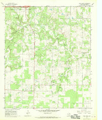
Editions of this 1966 Cisco South Map
2 editions found
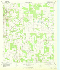
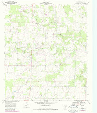
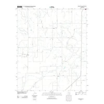
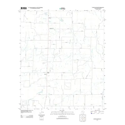
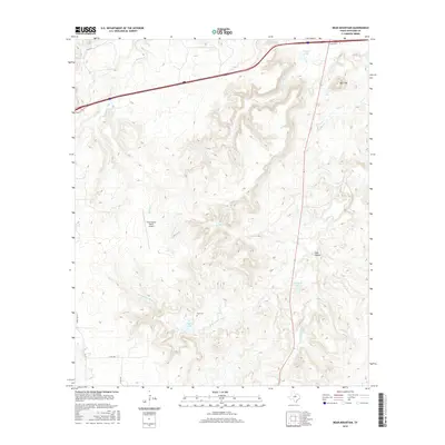
Historical Maps of Cisco Through Time
60 maps found
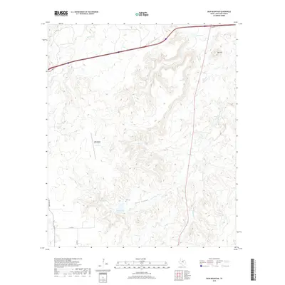
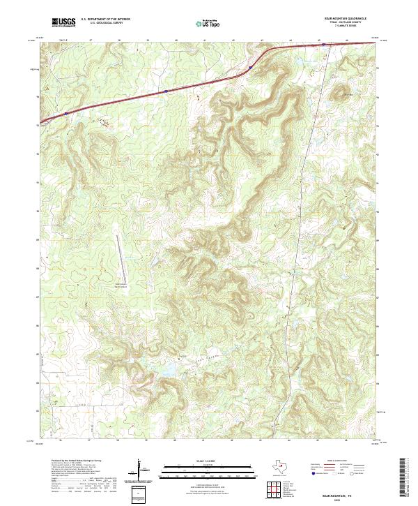
1966 Bear Mountain
Eastland County, TX
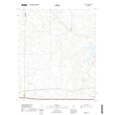
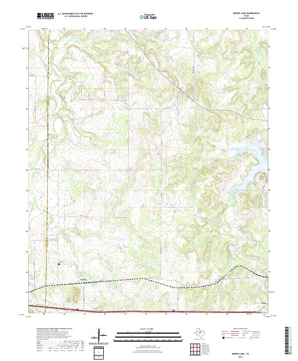
1966 Bernie Lake
Eastland County, TX
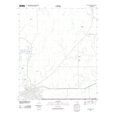
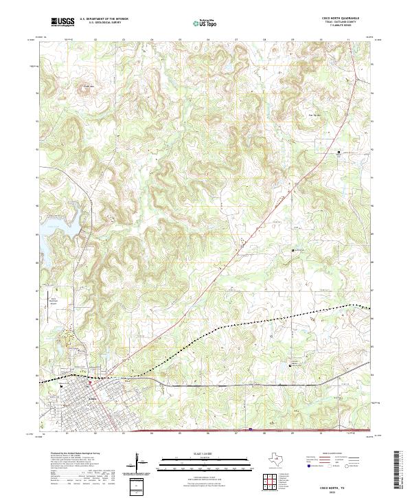
1966 Cisco North
Eastland County, TX
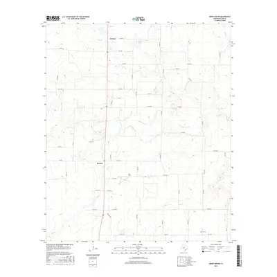
1966 Cisco South
Eastland County, TX
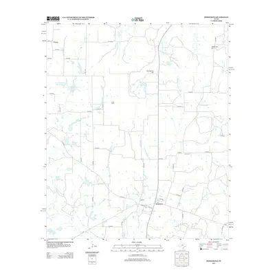
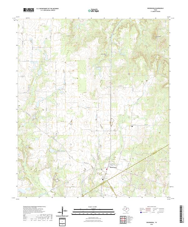
1966 Desdemona
Eastland County, TX
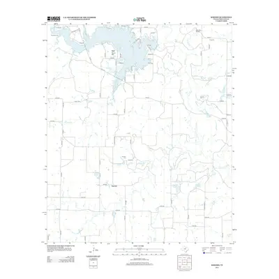
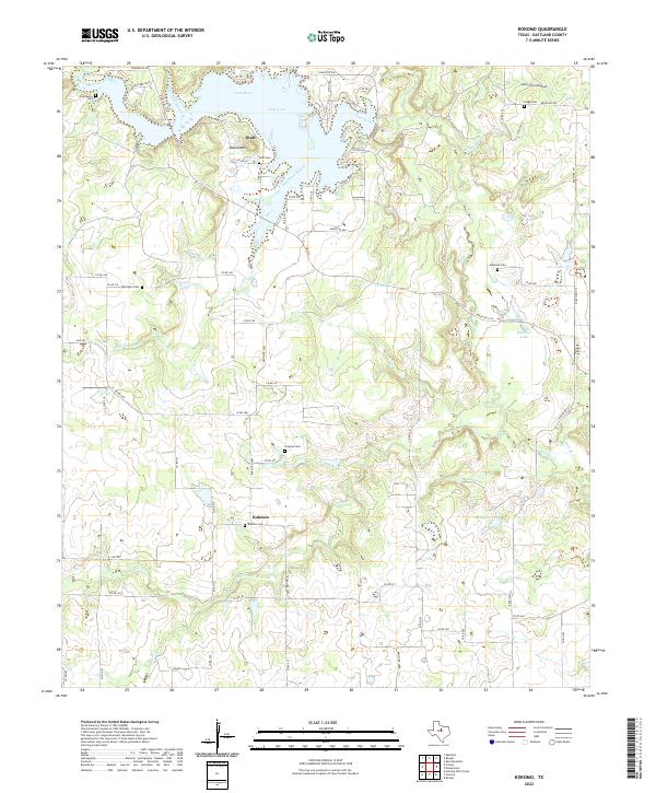
1966 Kokomo
Eastland County, TX
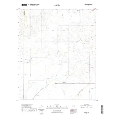
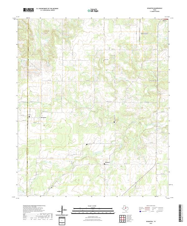
1966 Scranton
Eastland County, TX
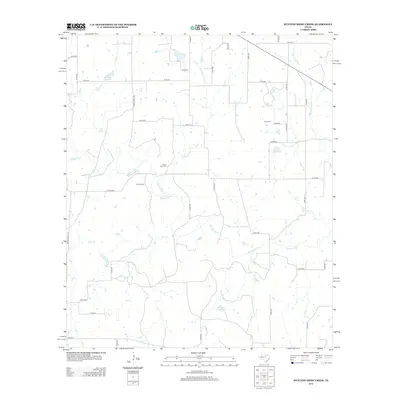
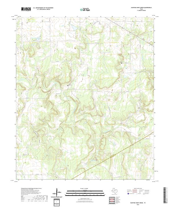
1969 Hunting Shirt Creek
Eastland County, TX
1969 Sabanno
Eastland County, TX
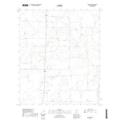
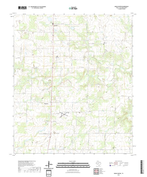
1969 Union Center
Eastland County, TX
2010 Bear Mountain
Eastland County, TX
2010 Bernie Lake
Eastland County, TX
2010 Cisco North
Eastland County, TX
2010 Cisco South
Eastland County, TX
2010 Desdemona
Eastland County, TX
2010 Hunting Shirt Creek
Eastland County, TX
2010 Kokomo
Eastland County, TX
2010 Sabanno
Eastland County, TX
2010 Scranton
Eastland County, TX
2010 Union Center
Eastland County, TX
2012 Bear Mountain
Eastland County, TX
2012 Bernie Lake
Eastland County, TX
2012 Cisco North
Eastland County, TX
2012 Cisco South
Eastland County, TX
2012 Desdemona
Eastland County, TX
2012 Hunting Shirt Creek
Eastland County, TX
2012 Kokomo
Eastland County, TX
2012 Sabanno
Eastland County, TX
2012 Scranton
Eastland County, TX
2012 Union Center
Eastland County, TX
2016 Bear Mountain
Eastland County, TX
2016 Bernie Lake
Eastland County, TX
2016 Cisco North
Eastland County, TX
2016 Cisco South
Eastland County, TX
2016 Desdemona
Eastland County, TX
2016 Hunting Shirt Creek
Eastland County, TX
2016 Kokomo
Eastland County, TX
2016 Sabanno
Eastland County, TX
2016 Scranton
Eastland County, TX
2016 Union Center
Eastland County, TX
2019 Bear Mountain
Eastland County, TX
2019 Bernie Lake
Eastland County, TX
2019 Cisco North
Eastland County, TX
2019 Cisco South
Eastland County, TX

2019 Desdemona
Eastland County, TX
2019 Hunting Shirt Creek
Eastland County, TX
2019 Kokomo
Eastland County, TX
2019 Sabanno
Eastland County, TX
2019 Scranton
Eastland County, TX
2019 Union Center
Eastland County, TX
2022 Bear Mountain
Eastland County, TX
2022 Bernie Lake
Eastland County, TX
2022 Cisco North
Eastland County, TX
2022 Cisco South
Eastland County, TX
2022 Desdemona
Eastland County, TX
2022 Hunting Shirt Creek
Eastland County, TX
2022 Kokomo
Eastland County, TX

2022 Sabanno
Eastland County, TX
2022 Scranton
Eastland County, TX
2022 Union Center
Eastland County, TX