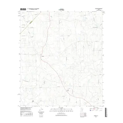
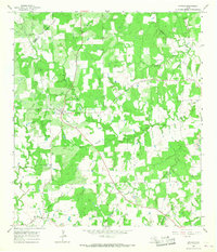
2016 Map of Cistern
USGS Topo · Published 2016About this map
The settlement of Cistern sits at the intersection of local routes, serving as a focal point for this rural landscape in Fayette County. The terrain is defined by a dense network of seasonal drainages, including Live Oak Cr, Peach Cr, and Pin Oak Cr, which carve through the gently varying elevations. Smaller communities like Colony and Elm Grove further define the local settlement pattern, which is heavily oriented around family-named infrastructure and agricultural roads. For those researching local lineages, the map identifies several burial grounds including Robbins Cem, Rector Cem, and Psencik Cem. The presence of Buckners Creek Bridge and the sprawling Anchor Ranch Loop illustrates the transition from traditional farm-to-market paths to modern rural access. The boundary between Bastrop and Fayette counties crosses the northern section, marking a clear administrative division in this central Texas ranching and farming corridor.
Find a feature on this map
48 named features on this map. Tap any name to fly to it.
Don’t see what you’re looking for? This feature index may not catch every label — zoom into the map to look around manually.
Map Details
Editions of this 2016 Cistern Map
This is the sole edition of this map. No revisions or reprints were ever made.
Other maps of this area
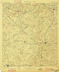
1901 · Flatonia
USGS Topo · 1:125,000

1953 · Seguin
USGS Topo · 1:250,000
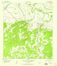
1958 · West Point
USGS Topo · 1:24,000

1958 · Seguin
USGS Topo · 1:250,000
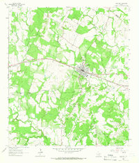
1964 · Waelder
USGS Topo · 1:24,000
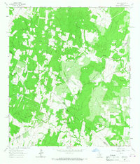
1964 · Jeddo
USGS Topo · 1:24,000
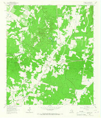
1964 · Rosanky
USGS Topo · 1:24,000
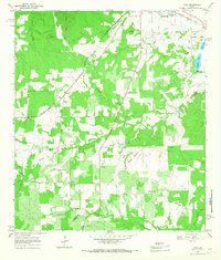
1964 · Togo
USGS Topo · 1:24,000
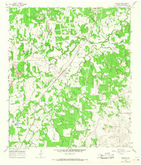
1965 · Muldoon
USGS Topo · 1:24,000
1965 · Cistern
USGS Topo · 1:24,000