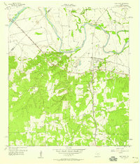
1958 Map of West Point
USGS Topo · Published 1958About this map
The Colorado River meanders through the heart of this Central Texas landscape, dividing the northern plains from the more heavily wooded southern hills. In the late 1950s, the area's infrastructure was defined by a dense intersection of rail lines, with the Missouri Kansas and Texas and the Southern Pacific corridors converging near West Point. This junction served as a vital node for local transit and commerce, supporting the nearby communities of Kirtley and Lena.
Find a feature on this map
28 named features on this map. Tap any name to fly to it.
Don’t see what you’re looking for? This feature index may not catch every label — zoom into the map to look around manually.
Map Details
Editions of this 1958 West Point Map
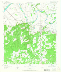
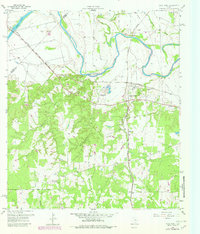
Other maps of this area

1885 · Bastrop
USGS Topo · 1:125,000

1893 · Bastrop
USGS Topo · 1:125,000

1901 · Flatonia
USGS Topo · 1:125,000

1904 · Bastrop
USGS Topo · 1:125,000

1919 · Giddings
USGS Topo · 1:62,500

1948 · Smithville
USGS Topo · 1:62,500

1950 · Smithville
USGS Topo · 1:62,500

1953 · Seguin
USGS Topo · 1:250,000

1954 · Austin
USGS Topo · 1:250,000

1956 · La Grange
USGS Topo · 1:62,500