
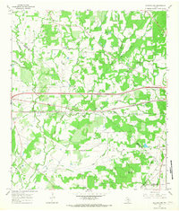
1964 Map of Waelder
USGS Topo · Published 1966About this map
The Southern Pacific railroad corridor serves as the primary axis for this portion of eastern Gonzales County, anchoring the town of Waelder. The local community is centered on the Waelder School, St Patricks church, and the City Cemetery, reflecting a settled landscape of mid-century rural Texas. Outside the town center, the terrain is defined by a dense network of watercourses including Elm Creek, Sandy Fork, and Baldridge Creek, which carve through the undulating land.
Find a feature on this map
28 named features on this map. Tap any name to fly to it.
Don’t see what you’re looking for? This feature index may not catch every label — zoom into the map to look around manually.
Map Details
Editions of this 1964 Waelder Map
2 editions found
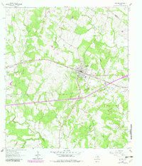
Other maps of this area

1901 · Flatonia
USGS Topo · 1:125,000

1953 · Seguin
USGS Topo · 1:250,000

1958 · Seguin
USGS Topo · 1:250,000

1962 · Dilworth
USGS Topo · 1:24,000
1962 · Gonzales North
USGS Topo · 1:24,000
1964 · Delhi
USGS Topo · 1:24,000
1964 · Sandy Fork
USGS Topo · 1:24,000

1964 · Jeddo
USGS Topo · 1:24,000

1965 · Cistern
USGS Topo · 1:24,000
1965 · Flatonia NW
USGS Topo · 1:24,000