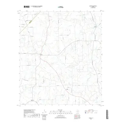
2019 Map of Cistern
USGS Topo · Published 2019About this map
The community of Cistern serves as a central hub in this rural landscape straddling the line between Bastrop and Fayette counties. The area is defined by a network of drainage creeks, including Peach Creek, Live Oak Creek, and Pin Oak Creek, which weave through agricultural lands and scattered homesteads. Genealogists and local historians will find significant value in the distribution of family-named landmarks and cemeteries, such as Psencik Cemetery, Robbins Cemetery, and Rector Cemetery, which mark the generational presence of local families.
Find a feature on this map
55 named features on this map. Tap any name to fly to it.
Don’t see what you’re looking for? This feature index may not catch every label — zoom into the map to look around manually.
Map Details
Editions of this 2019 Cistern Map
This is the sole edition of this map. No revisions or reprints were ever made.
Other maps of this area

1901 · Flatonia
USGS Topo · 1:125,000

1953 · Seguin
USGS Topo · 1:250,000
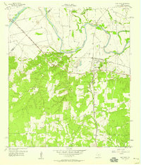
1958 · West Point
USGS Topo · 1:24,000

1958 · Seguin
USGS Topo · 1:250,000

1964 · Waelder
USGS Topo · 1:24,000

1964 · Jeddo
USGS Topo · 1:24,000
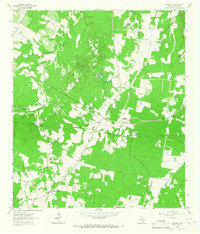
1964 · Rosanky
USGS Topo · 1:24,000
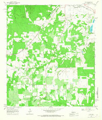
1964 · Togo
USGS Topo · 1:24,000

1965 · Muldoon
USGS Topo · 1:24,000

1965 · Cistern
USGS Topo · 1:24,000