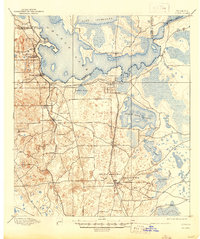
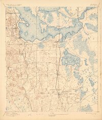
1895 Map of Citra
USGS Topo · Published 1944About this map
The French Phosphate Mines and neighboring Baker Mine anchor the southern landscape of this 1893 survey, reflecting an era when phosphate extraction was a primary driver of the local economy. The terrain is defined by a complex hydrology of large water bodies and expansive marshy flats, most notably Orange Lake, Lochloosa Lake, and the wide Black Sink Prairie. These features are connected by the famous Cross Creek, a narrow thread through the wetlands that would later become synonymous with Florida regional literature.
Find a feature on this map
35 named features on this map. Tap any name to fly to it.
Don’t see what you’re looking for? This feature index may not catch every label — zoom into the map to look around manually.
Map Details
Editions of this 1895 Citra Map
6 editions found
Other maps of this area

1890 · Arredondo
USGS Topo · 1:62,500

1892 · Dunnellon
USGS Topo · 1:62,500

1892 · Arredondo
USGS Topo · 1:62,500

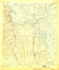
1893 · Citra
USGS Topo · 1:62,500

1894 · Dunnellon
USGS Topo · 1:62,500

1894 · Arredondo
USGS Topo · 1:62,500

1895 · Williston
USGS Topo · 1:62,500

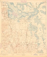
1895 · Citra
USGS Topo · 1:62,500

1895 · Ocala
USGS Topo · 1:62,500

1915 · Interlachen
USGS Topo · 1:48,000