
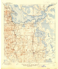
1895 Map of Citra
USGS Topo · Published 1895About this map
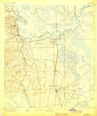
French Phosphate Mines and the Baker Mine anchor the southern landscape of this 1893 survey, marking a period of intense industrial activity in northern Marion County. The region's unique geography is defined by expansive wetland prairies such as Black Sink Prairie and Goosky Prairie, which sit alongside major water bodies like Orange Lake and Lochloosa Lake. These lakes are connected by the iconic Cross Creek, a narrow waterway that served as a vital local corridor. Settlement patterns follow the tracks of the Florida Southern R. R. and the Florida Central and Peninsular R. R., which facilitated the movement of both phosphate and citrus from towns like Citra, McIntosh, and Island Grove. The detailed contour lines reveal the subtle elevations and depressions characteristic of Florida's karst topography, where small unnamed mines dot the terrain around Anthony.
Find a feature on this map
37 named features on this map. Tap any name to fly to it.
Don’t see what you’re looking for? This feature index may not catch every label — zoom into the map to look around manually.
Map Details
Editions of this 1895 Citra Map
6 editions found
Other maps of this area

1890 · Arredondo
USGS Topo · 1:62,500

1892 · Dunnellon
USGS Topo · 1:62,500

1892 · Arredondo
USGS Topo · 1:62,500

1893 · Citra
USGS Topo · 1:62,500

1894 · Dunnellon
USGS Topo · 1:62,500

1894 · Arredondo
USGS Topo · 1:62,500

1895 · Williston
USGS Topo · 1:62,500

1895 · Ocala
USGS Topo · 1:62,500

1915 · Interlachen
USGS Topo · 1:48,000

1916 · Interlachen
USGS Topo · 1:62,500