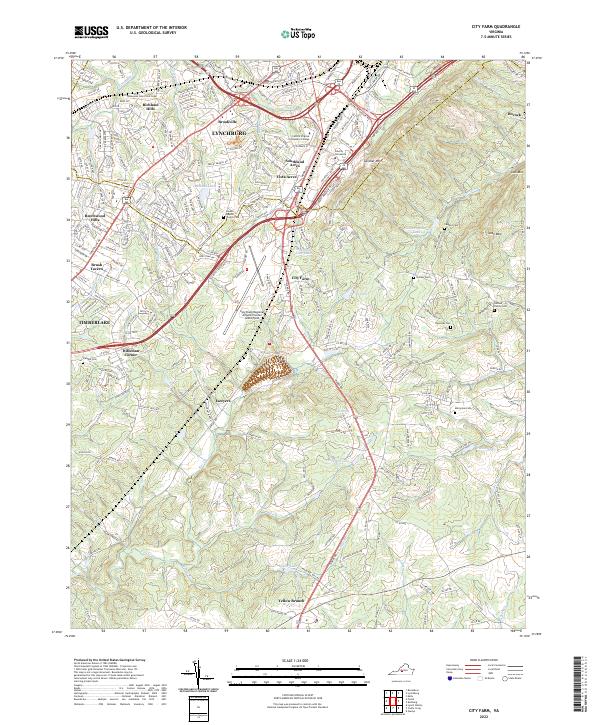
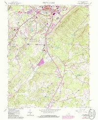
2022 Map of City Farm
USGS Topo · Published 2022About this map
The rolling landscape south of Lynchburg is characterized by its blend of academic institutions, residential expansion, and deep-rooted family history. Major transportation corridors like Wards Rd connect suburban clusters such as Southland Acres and Vista Acres with educational landmarks including Liberty University and Central Virginia Community College. This modern snapshot captures a transition from urban industrial zones near the Tomahawk Industrial Park to the quieter, rural stretches of Campbell County.
Find a feature on this map
204 named features on this map. Tap any name to fly to it.
Don’t see what you’re looking for? This feature index may not catch every label — zoom into the map to look around manually.
Map Details
Editions of this 2022 City Farm Map
This is the sole edition of this map. No revisions or reprints were ever made.
Historical Maps of Happy Valley Through Time
16 maps found
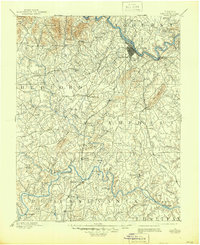
1892 Lynchburg
Campbell County, VA
1944 Lynchburg
Campbell County, VA

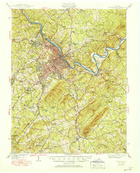
1950 Lynchburg
Campbell County, VA
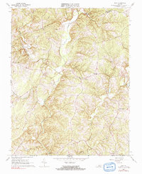
1956 Gladys
Campbell County, VA
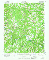
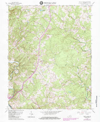
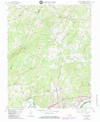
1963 City Farm
Campbell County, VA
1966 Castle Craig
Campbell County, VA
1966 Gladys
Campbell County, VA
1966 Long Island
Campbell County, VA
1966 Lynch Station
Campbell County, VA
1966 Mike
Campbell County, VA
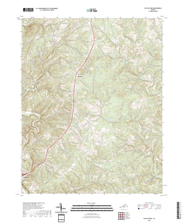
2022 Castle Craig
Campbell County, VA
2022 City Farm
Campbell County, VA
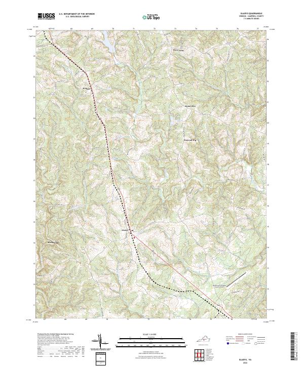
2022 Gladys
Campbell County, VA
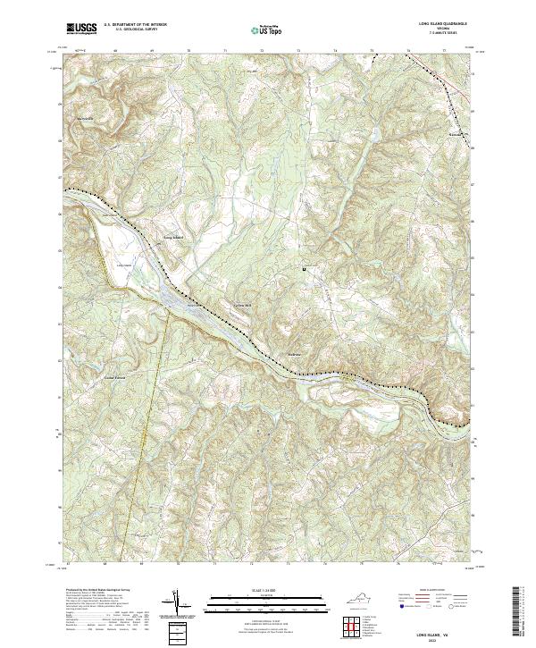
2022 Long Island
Campbell County, VA
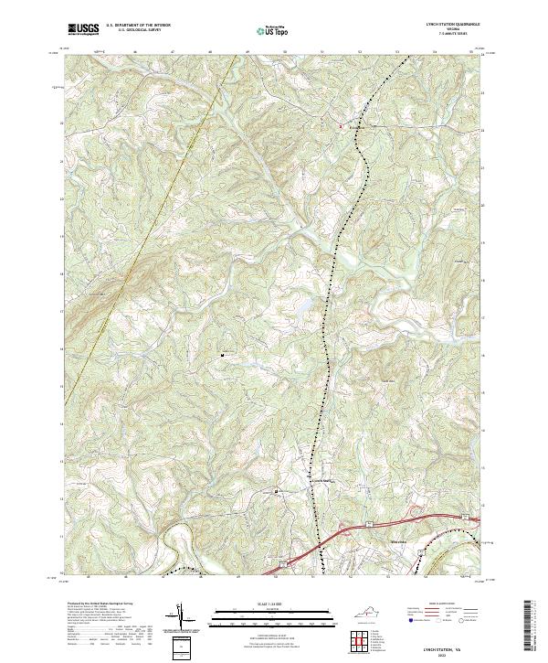
2022 Lynch Station
Campbell County, VA
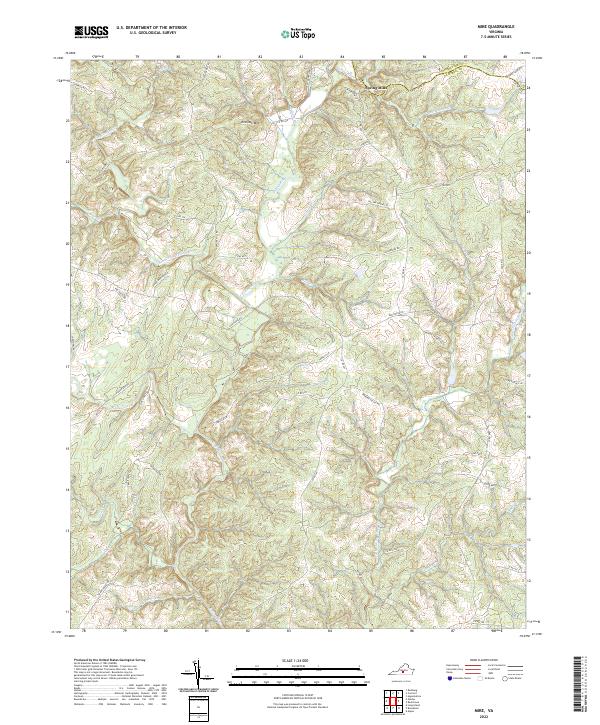
2022 Mike
Campbell County, VA