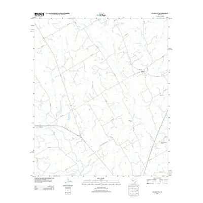
2012 Map of Clairette
USGS Topo · Published 2012About this map
The N Bosque River and its varied tributaries, including Round Hole Br and Green Cr, shape the landscape of this rural Erath and Hamilton County borderland. The small community of Clairette sits at the western edge of the sheet, while the settlement of Duffau anchors the northeast. This area of Texas is defined by a dense network of country roads, such as Farm-To-Market Road 240 and FM 2481, which connect the scattered agricultural homesteads and ranches.
Find a feature on this map
41 named features on this map. Tap any name to fly to it.
Don’t see what you’re looking for? This feature index may not catch every label — zoom into the map to look around manually.
Map Details
Editions of this 2012 Clairette Map
This is the sole edition of this map. No revisions or reprints were ever made.
Other maps of this area

1888 · Hamilton
USGS Topo · 1:125,000

1888 · Meridian
USGS Topo · 1:125,000

1889 · Granbury
USGS Topo · 1:125,000

1890 · Stephenville
USGS Topo · 1:125,000

1894 · Hamilton
USGS Topo · 1:125,000

1894 · Meridian
USGS Topo · 1:125,000

1920 · Stephenville
USGS Topo · 1:125,000

1954 · Brownwood
USGS Topo · 1:250,000

1954 · Dallas
USGS Topo · 1:250,000

1954 · Waco
USGS Topo · 1:250,000