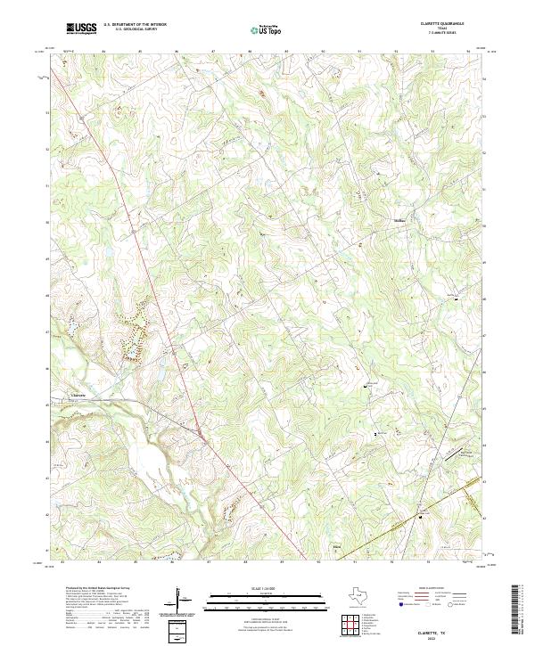
2022 Map of Clairette
USGS Topo · Published 2022About this map
Clairette and Duffau anchor this rural Texas landscape where Erath, Bosque, and Hamilton counties meet. The terrain is defined by the drainage networks of the North Bosque River and its tributaries, including Round Hole Br and Green Cr. This modern survey reveals a persistent pattern of rural settlement, with family history sites like Duffau Cem, Byrd Cem, and Millerville Cem preserved alongside active ranch roads and private airfields like the Ray Smith Farm Airport. The map shows a clear division between the winding watercourses of Little Duffau Cr and the structured grid of county roads that navigate the local topography. It captures the quiet character of the central Texas prairie-and-timber transition, showing how modern transit such as US-281 overlays historical crossroads.
Find a feature on this map
56 named features on this map. Tap any name to fly to it.
Don’t see what you’re looking for? This feature index may not catch every label — zoom into the map to look around manually.
Map Details
Editions of this 2022 Clairette Map
This is the sole edition of this map. No revisions or reprints were ever made.
Other maps of this area

1888 · Hamilton
USGS Topo · 1:125,000

1888 · Meridian
USGS Topo · 1:125,000

1889 · Granbury
USGS Topo · 1:125,000

1890 · Stephenville
USGS Topo · 1:125,000

1894 · Hamilton
USGS Topo · 1:125,000

1894 · Meridian
USGS Topo · 1:125,000

1920 · Stephenville
USGS Topo · 1:125,000

1954 · Brownwood
USGS Topo · 1:250,000

1954 · Dallas
USGS Topo · 1:250,000

1954 · Waco
USGS Topo · 1:250,000