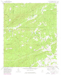
1969 Map of Clairmont Springs
USGS Topo · Published 1980About this map
Talladega Mountain and Poe Bridge Mountain dominate this landscape, which spans the border of Talladega Co and Clay Co during the late 1960s. The area is characterized by scattered rural settlements such as Clairmont Springs and Chandler Springs, largely situated within the boundaries of the Talladega National Forest. The presence of Gold Mines in the northeast and numerous Quarries suggests a landscape defined by its geological resources as much as its timber.
Find a feature on this map
42 named features on this map. Tap any name to fly to it.
Don’t see what you’re looking for? This feature index may not catch every label — zoom into the map to look around manually.
Map Details
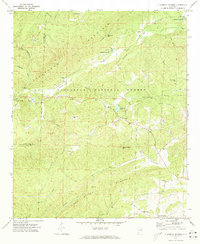
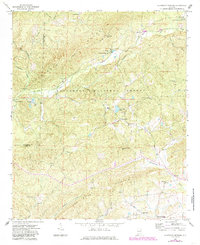
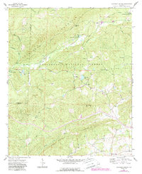
Editions of this 1969 Clairmont Springs Map
4 editions found
Other maps of this area

1890 · Talladega
USGS Topo · 1:125,000

1891 · Ashland
USGS Topo · 1:125,000

1892 · Talladega
USGS Topo · 1:125,000

1943 · Talladega
USGS Topo · 1:62,500

1944 · Goodwater
USGS Topo · 1:62,500

1946 · Talladega
USGS Topo · 1:62,500

1947 · Goodwater
USGS Topo · 1:62,500

1953 · Birmingham
USGS Topo · 1:250,000

1953 · Atlanta
USGS Topo · 1:250,000

1956 · Birmingham
USGS Topo · 1:250,000