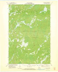
1971 Map of Clam Lake SE
USGS Topo · Published 1973About this map
Chequamegon National Forest dominates this landscape in Ashland County, where a complex network of waterways defines the northern Wisconsin wilderness. The terrain is a labyrinth of swampy lowlands and river basins, notably where the Moose River and West Torch River converge. This area shows a transition in land use within the forest boundaries, moving between the regions of Shanagolden and Chippewa.
Find a feature on this map
13 named features on this map. Tap any name to fly to it.
Don’t see what you’re looking for? This feature index may not catch every label — zoom into the map to look around manually.
Map Details
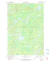
Editions of this 1971 Clam Lake SE Map
2 editions found
Other maps of this area

1941 · Kennedy
USGS Topo · 1:48,000

1942 · Glidden
USGS Topo · 1:48,000

1942 · Clam Lake
USGS Topo · 1:48,000

1944 · Draper
USGS Topo · 1:48,000

1945 · Kennedy
USGS Topo · 1:48,000

1945 · Clam Lake
USGS Topo · 1:48,000

1945 · Glidden
USGS Topo · 1:48,000

1947 · Draper
USGS Topo · 1:48,000

1953 · Ashland
USGS Topo · 1:250,000

1953 · Rice Lake
USGS Topo · 1:250,000