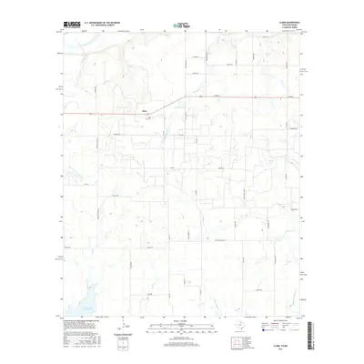
2016 Map of Clara
USGS Topo · Published 2016About this map
Clara sits atop a rise in the north-central Texas landscape, overlooking a complex drainage network that flows toward the Red River along the Oklahoma border. This rural community is defined by its deep-rooted agricultural layout, with the Clara Cem serving as a significant genealogical landmark for local families. The terrain is deeply etched by numerous waterways, including Wildhorse Cr, Gilbert Cr, and the uniquely named Tenth Cavalry Cr, suggesting a history tied to early frontier movements and cattle ranching.
Find a feature on this map
46 named features on this map. Tap any name to fly to it.
Don’t see what you’re looking for? This feature index may not catch every label — zoom into the map to look around manually.
Map Details
Editions of this 2016 Clara Map
This is the sole edition of this map. No revisions or reprints were ever made.
Other maps of this area

1915 · Clara
USGS Topo · 1:24,000

1915 · Barwise School
USGS Topo · 1:24,000

1915 · Burkburnett
USGS Topo · 1:24,000

1916 · Iowa Park
USGS Topo · 1:24,000

1916 · Fowlkes
USGS Topo · 1:24,000

1918 · Buckburnett
USGS Topo · 1:31,680

1918 · Barwise School
USGS Topo · 1:31,680

1918 · Clara
USGS Topo · 1:31,680

1918 · Iowa Park
USGS Topo · 1:31,680

1919 · Fowlkes
USGS Topo · 1:31,680