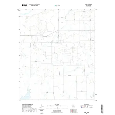
2019 Map of Clara
USGS Topo · Published 2019About this map
Clara Cem stands as a central historical marker in this rural landscape near the Oklahoma-Texas border. The terrain is defined by the winding course of the Red River to the north and the expansive North Fork Buffalo Creek Reservoir to the southwest. This area preserves a legacy of early education and family ranching, evidenced by roads like Wyeth School Rd and Reilly Ranch Loop near Reilly Lake. Numerous seasonal waterways, including Tenth Cavalry Cr, Wildhorse Cr, and several forks of Gilbert Cr, illustrate the complex drainage system of the North Texas plains. The network of local routes such as Clara Cemetery Rd and Prairie Cottage Rd suggests a community structured around long-standing agricultural holdings and dispersed rural settlements.
Find a feature on this map
48 named features on this map. Tap any name to fly to it.
Don’t see what you’re looking for? This feature index may not catch every label — zoom into the map to look around manually.
Map Details
Editions of this 2019 Clara Map
This is the sole edition of this map. No revisions or reprints were ever made.
Other maps of this area

1915 · Clara
USGS Topo · 1:24,000

1915 · Barwise School
USGS Topo · 1:24,000

1915 · Burkburnett
USGS Topo · 1:24,000

1916 · Iowa Park
USGS Topo · 1:24,000

1916 · Fowlkes
USGS Topo · 1:24,000

1918 · Buckburnett
USGS Topo · 1:31,680

1918 · Barwise School
USGS Topo · 1:31,680

1918 · Clara
USGS Topo · 1:31,680

1918 · Iowa Park
USGS Topo · 1:31,680

1919 · Fowlkes
USGS Topo · 1:31,680