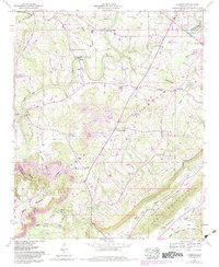
1958 Map of Clarence
USGS Topo · Published 1983About this map
Murphrees Valley and the surrounding heights of Sand Mountain define this landscape in north-central Alabama as it appeared through mid-century surveys and early 1980s updates. The map records a complex river system where the Locust Fork Black Warrior River and the Calvert Prong of Little Warrior River cut through the terrain. Evidence of the region's agricultural and resource-based economy is visible in the strip mines located near Clarence and the presence of numerous small rural settlements like Snead and Wynnville.
Find a feature on this map
69 named features on this map. Tap any name to fly to it.
Don’t see what you’re looking for? This feature index may not catch every label — zoom into the map to look around manually.
Map Details
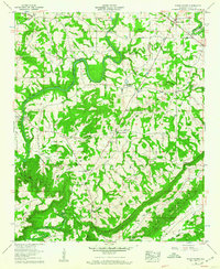
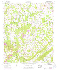
Editions of this 1958 Clarence Map
3 editions found
Other maps of this area

1885 · Gadsden
USGS Topo · 1:125,000

1888 · Cullman
USGS Topo · 1:125,000

1888 · Gadsden
USGS Topo · 1:125,000

1889 · Springville
USGS Topo · 1:125,000

1889 · Birmingham
USGS Topo · 1:125,000

1892 · Cullman
USGS Topo · 1:125,000

1892 · Birmingham
USGS Topo · 1:125,000

1892 · Springville
USGS Topo · 1:125,000

1892 · Gadsden
USGS Topo · 1:125,000

1895 · Gadsden
USGS Topo · 1:125,000