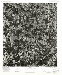
1975 Map of Clarence
USGS Topo · Published 1979About this map
Clarence and the surrounding Blount County landscape appear in high detail on this orthophotograph, which uses aerial imagery to document the rural character of the region in the mid-1970s. The terrain is marked by a complex patchwork of woodlots and agricultural clearings, revealing how the local economy utilized the upland plateaus and winding stream valleys. Small crossroads communities like Snead Crossroads and Hendrix serve as focal points for the network of local roads that weave through the hills. This document is particularly valuable for genealogists and local historians, as it provides a photographic record of land use and building footprints before more modern development altered the footprint of these traditional Alabama settlements.
Find a feature on this map
3 named features on this map. Tap any name to fly to it.
Don’t see what you’re looking for? This feature index may not catch every label — zoom into the map to look around manually.
Map Details
Editions of this 1975 Clarence Map
2 editions found

Other maps of this area

1885 · Gadsden
USGS Topo · 1:125,000

1888 · Cullman
USGS Topo · 1:125,000

1888 · Gadsden
USGS Topo · 1:125,000

1889 · Springville
USGS Topo · 1:125,000

1889 · Birmingham
USGS Topo · 1:125,000

1892 · Cullman
USGS Topo · 1:125,000

1892 · Birmingham
USGS Topo · 1:125,000

1892 · Springville
USGS Topo · 1:125,000

1892 · Gadsden
USGS Topo · 1:125,000

1895 · Gadsden
USGS Topo · 1:125,000