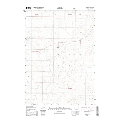
2015 Map of Clareton
USGS Topo · Published 2015About this map
Clareton serves as the focal point of this Weston County survey, situated within the expansive reaches of the Thunder Basin National Grassland. The landscape is defined by the ephemeral drainage patterns of the high plains, including the headwaters of Lodgepole Cr and Hay Cr. Local transport is facilitated by a network of ranch-to-market routes like Darlington Rd, Bruce Rd, and Elliott Rd, which navigate the subtle topography of the Great Plains. Interpretive details on this map highlight the significance of drainage features like Newton Draw and Field Draw, which are critical landmarks for navigation and land management in this semiarid region. The inclusion of Wildcat Cr in the southern section further illustrates the drainage network that sustains the livestock and wildlife within this protected federal grassland area.
Find a feature on this map
17 named features on this map. Tap any name to fly to it.
Don’t see what you’re looking for? This feature index may not catch every label — zoom into the map to look around manually.
Map Details
Editions of this 2015 Clareton Map
This is the sole edition of this map. No revisions or reprints were ever made.
Other maps of this area

1955 · Newcastle
USGS Topo · 1:250,000

1958 · Newcastle
USGS Topo · 1:250,000

1979 · Newcastle
USGS Topo · 1:100,000
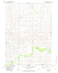
1982 · Poddy Creek
USGS Topo · 1:24,000

1982 · Clareton
USGS Topo · 1:24,000
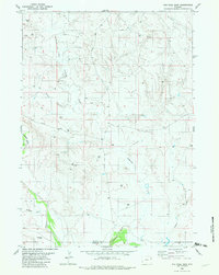
1982 · The Nose East
USGS Topo · 1:24,000
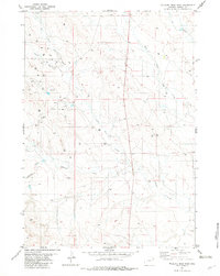
1982 · Wildlife Draw East
USGS Topo · 1:24,000
1982 · The Nose West
USGS Topo · 1:24,000
1982 · Darlington Draw East
USGS Topo · 1:24,000
1982 · Fairview
USGS Topo · 1:24,000