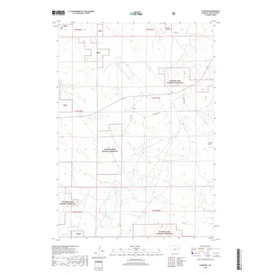
2018 Map of Clareton
USGS Topo · Published 2018About this map
Clareton serves as the central point of reference in this portion of Weston County, where the high plains transition between vast public lands and private ranching interests. The landscape is defined by the sweeping reach of the Thunder Basin National Grassland, also noted on the map by the abbreviation Tbng. This semi-arid terrain is etched by a network of seasonal watercourses and drainages, most notably Lodgepole Cr and its tributaries such as Hay Cr and Deep Cr. The drainage patterns, including Field Draw in the northwest and Newton Draw to the east, illustrate the subtle but critical topography that has historically dictated cattle movement and settlement patterns in this part of Wyoming. A sparse road network, featuring Darlington Rd and Bruce Rd, connects these remote outposts across the township and range grid.
Find a feature on this map
19 named features on this map. Tap any name to fly to it.
Don’t see what you’re looking for? This feature index may not catch every label — zoom into the map to look around manually.
Map Details
Editions of this 2018 Clareton Map
This is the sole edition of this map. No revisions or reprints were ever made.
Other maps of this area

1955 · Newcastle
USGS Topo · 1:250,000

1958 · Newcastle
USGS Topo · 1:250,000

1979 · Newcastle
USGS Topo · 1:100,000
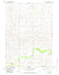
1982 · Poddy Creek
USGS Topo · 1:24,000

1982 · Clareton
USGS Topo · 1:24,000
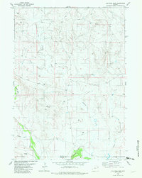
1982 · The Nose East
USGS Topo · 1:24,000
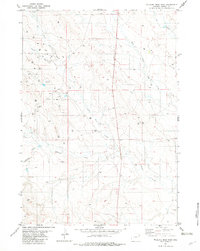
1982 · Wildlife Draw East
USGS Topo · 1:24,000
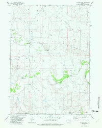
1982 · The Nose West
USGS Topo · 1:24,000
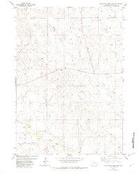
1982 · Darlington Draw East
USGS Topo · 1:24,000
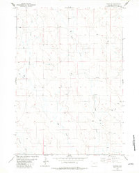
1982 · Fairview
USGS Topo · 1:24,000