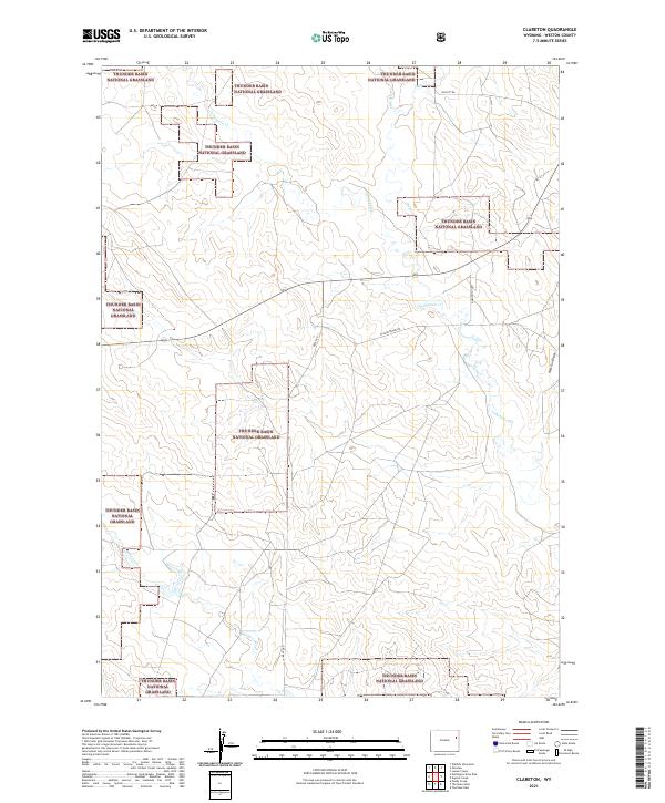
2021 Map of Clareton
USGS Topo · Published 2021About this map
Thunder Basin National Grassland dominates this portion of Weston County, where the high plains landscape is defined by a sparse network of seasonal drainages and ranch roads. The map reveals a distinctive pattern of land use where large tracts of public grassland are interlaced with private holdings, marked by the courses of Lodgepole Cr and Wildcat Cr. The road network, including Darlington Rd and Bruce Rd, follows the section lines typical of the Public Land Survey System, providing access to the isolated draws and ridges. Local topography is further detailed by named features like Field Draw and Newton Draw, which serve as crucial landmarks in this open grazing country. The presence of Deep Cr and Hay Cr in the northern reaches highlights the critical role of water management in the arid environment of northeastern Wyoming.
Find a feature on this map
17 named features on this map. Tap any name to fly to it.
Don’t see what you’re looking for? This feature index may not catch every label — zoom into the map to look around manually.
Map Details
Editions of this 2021 Clareton Map
This is the sole edition of this map. No revisions or reprints were ever made.
Other maps of this area

1955 · Newcastle
USGS Topo · 1:250,000

1958 · Newcastle
USGS Topo · 1:250,000

1979 · Newcastle
USGS Topo · 1:100,000
1982 · Poddy Creek
USGS Topo · 1:24,000

1982 · Clareton
USGS Topo · 1:24,000
1982 · The Nose East
USGS Topo · 1:24,000
1982 · Wildlife Draw East
USGS Topo · 1:24,000
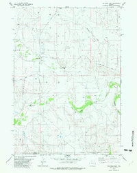
1982 · The Nose West
USGS Topo · 1:24,000
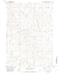
1982 · Darlington Draw East
USGS Topo · 1:24,000
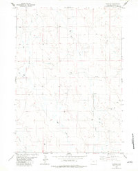
1982 · Fairview
USGS Topo · 1:24,000