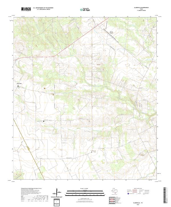
2022 Map of Clareville
USGS Topo · Published 2022About this map
Clareville and the surrounding rangelands of Bee County are defined by a complex network of seasonal drainages and creek beds. The landscape is bisected by several prominent waterways including Aransas Cr, Elm Cr, and Olmos Cr, which carve through the terrain and influence the placement of early settlements and road networks. The western edge of the map follows the winding boundary of Live Oak Co, while the southern portion touches the border of San Patricio Co.
Find a feature on this map
50 named features on this map. Tap any name to fly to it.
Don’t see what you’re looking for? This feature index may not catch every label — zoom into the map to look around manually.
Map Details
Editions of this 2022 Clareville Map
This is the sole edition of this map. No revisions or reprints were ever made.
Other maps of this area

1925 · Mathis No. 2
USGS Topo · 1:48,000

1927 · Mathis
USGS Topo · 1:62,500

1953 · Beeville
USGS Topo · 1:250,000

1954 · Skidmore
USGS Topo · 1:62,500

1954 · Fleming
USGS Topo · 1:62,500

1954 · Mathis
USGS Topo · 1:62,500

1954 · Sinton
USGS Topo · 1:62,500

1956 · Beeville
USGS Topo · 1:250,000

1960 · Beeville
USGS Topo · 1:250,000
1979 · Tynan
USGS Topo · 1:24,000