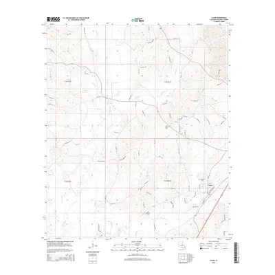
2015 Map of Clark
USGS Topo · Published 2015About this map
Clarks, Louisiana, serves as the primary hub of this Caldwell Parish landscape, defined by a dense network of waterways and timberland in the 2010s. The town's grid sits along the eastern edge of the quadrangle, where New Bethel Cem and several local streets such as Gibson St and Ouachita Ave provide clear points of reference for local historians. Moving westward, the terrain is carved by the significant meandering path of Castor Creek and its many tributaries, including Messer Cr and Piney Cr.
Find a feature on this map
75 named features on this map. Tap any name to fly to it.
Don’t see what you’re looking for? This feature index may not catch every label — zoom into the map to look around manually.
Map Details
Editions of this 2015 Clark Map
This is the sole edition of this map. No revisions or reprints were ever made.
Other maps of this area

1940 · Columbia
USGS Topo · 1:62,500

1953 · Alexandria
USGS Topo · 1:250,000

1954 · Sikes
USGS Topo · 1:62,500

1954 · Tullos
USGS Topo · 1:62,500

1955 · Shreveport
USGS Topo · 1:250,000

1955 · Alexandria
USGS Topo · 1:250,000

1955 · Olla
USGS Topo · 1:62,500

1956 · Shreveport
USGS Topo · 1:250,000

1957 · Columbia
USGS Topo · 1:62,500

1984 · Shreveport
USGS Topo · 1:250,000