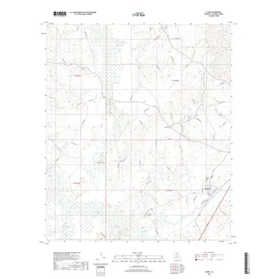
2018 Map of Clark
USGS Topo · Published 2018About this map
The town of Clarks serves as the primary settlement in this portion of Caldwell Parish, situated among a network of creeks and bayous that define the local drainage. Waterways such as Castor Creek, Black Bayou, and Richland Creek wind through the landscape, influencing the placement of early infrastructure like Butler Bridge Rd. The area is marked by several significant burial sites, including the New Bethel Cemetery and Old Bethel Cemetery, which provide valuable location data for genealogists and local historians.
Find a feature on this map
66 named features on this map. Tap any name to fly to it.
Don’t see what you’re looking for? This feature index may not catch every label — zoom into the map to look around manually.
Map Details
Editions of this 2018 Clark Map
This is the sole edition of this map. No revisions or reprints were ever made.
Other maps of this area

1940 · Columbia
USGS Topo · 1:62,500

1953 · Alexandria
USGS Topo · 1:250,000

1954 · Sikes
USGS Topo · 1:62,500

1954 · Tullos
USGS Topo · 1:62,500

1955 · Shreveport
USGS Topo · 1:250,000

1955 · Alexandria
USGS Topo · 1:250,000

1955 · Olla
USGS Topo · 1:62,500

1956 · Shreveport
USGS Topo · 1:250,000

1957 · Columbia
USGS Topo · 1:62,500

1984 · Shreveport
USGS Topo · 1:250,000