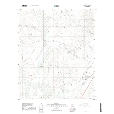
2020 Map of Clark
USGS Topo · Published 2020About this map
Clarks sits at the heart of this landscape, positioned along the southeastern edge of a complex network of wetlands and waterways. The area is defined by the broad drainage basin of Castor Creek, which is fed by numerous tributaries including Messer Cr and Piney Cr. This 2020 map documents the persistent rural character of Caldwell Parish, where family and community history is anchored by sites like Old Bethel Cem and New Bethel Cem. A intricate system of secondary roads, such as Zion Hill Rd and Butler Bridge Rd, provides access across the low-lying terrain. The natural drainage patterns are heavily influenced by the presence of Black Bayou and Bayou de Chene, reflecting the typical hydrology of north-central Louisiana where bottomlands and ridges dictate settlement patterns and transportation corridors.
Find a feature on this map
69 named features on this map. Tap any name to fly to it.
Don’t see what you’re looking for? This feature index may not catch every label — zoom into the map to look around manually.
Map Details
Editions of this 2020 Clark Map
This is the sole edition of this map. No revisions or reprints were ever made.
Other maps of this area

1940 · Columbia
USGS Topo · 1:62,500

1953 · Alexandria
USGS Topo · 1:250,000

1954 · Sikes
USGS Topo · 1:62,500

1954 · Tullos
USGS Topo · 1:62,500

1955 · Shreveport
USGS Topo · 1:250,000

1955 · Alexandria
USGS Topo · 1:250,000

1955 · Olla
USGS Topo · 1:62,500

1956 · Shreveport
USGS Topo · 1:250,000

1957 · Columbia
USGS Topo · 1:62,500

1984 · Shreveport
USGS Topo · 1:250,000