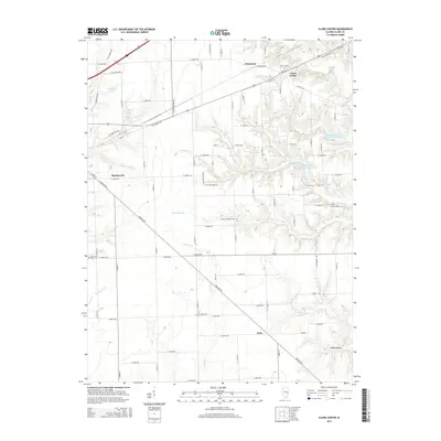
2015 Map of Clark Center
USGS Topo · Published 2015About this map
Clark Center and Martinsville anchor this rural landscape in Clark County, showing a well-established grid of farm-to-market roads and several localized settlements including Adenmoor and Weir. The drainage pattern is defined by the winding paths of Hurricane Cr, Blackburn Br, and Willow Cr, which cut through the agricultural plains. Significant for local historians, the area is dotted with small burial grounds such as Island Grove Cem, Auburn Cem, and the Baird-Barr Cem, providing vital clues for genealogical research in this Illinois interior. The intersection of Old Highway 40 and Old US-40 near Mill Cr reflects the evolution of regional transportation before the modern interstate era. Water management is evident in the northern reaches, where the Mill Cr Watershed Impoundment Reservoir has altered the natural flow of the creek.
Find a feature on this map
87 named features on this map. Tap any name to fly to it.
Don’t see what you’re looking for? This feature index may not catch every label — zoom into the map to look around manually.
Map Details
Editions of this 2015 Clark Center Map
This is the sole edition of this map. No revisions or reprints were ever made.
Other maps of this area

1932 · Marshall
USGS Topo · 1:62,500

1936 · Casey
USGS Topo · 1:48,000

1937 · Marshall
USGS Topo · 1:62,500

1942 · Casey
USGS Topo · 1:62,500

1943 · Casey
USGS Topo · 1:62,500

1953 · Indianapolis
USGS Topo · 1:250,000

1956 · Indianapolis
USGS Topo · 1:250,000

1956 · Annapolis
USGS Topo · 1:62,500

1957 · Indianapolis
USGS Topo · 1:250,000

1957 · Hutsonville
USGS Topo · 1:62,500