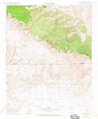
1960 Map of Clark Lake NE
USGS Topo · Published 1967About this map
The Santa Rosa Mountains dominate the northern landscape of this 1960 survey, their steep contours descending into the expansive Clark Valley. This arid region, straddling the Riverside Co San Diego Co line, is defined by its network of canyon drainages and primitive transit routes. Notable natural features include the deep cuts of Martinez Canyon and Rockhouse Canyon, which provided traditional passage through the high desert terrain. Much of the southern portion of the map is protected within the Anza Borrego Desert State Park, where early pathways like the Cactus Spring Trail and Rockhouse Trail trace the movements of those who navigated this water-scarce environment. The presence of a lone Spring at the northern edge and various unnamed Jeeptrails highlight the challenging nature of travel and survival in this remote corner of Southern California during the mid-twentieth century.
Find a feature on this map
13 named features on this map. Tap any name to fly to it.
Don’t see what you’re looking for? This feature index may not catch every label — zoom into the map to look around manually.
Map Details
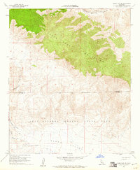
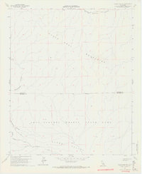
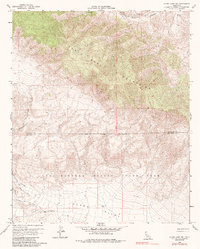
Editions of this 1960 Clark Lake NE Map
4 editions found
Other maps of this area

1904 · Indio
USGS Topo · 1:125,000

1931 · Vallecito
USGS Topo · 1:125,000

1941 · Toro Peak
USGS Topo · 1:62,500

1941 · Clark Lake
USGS Topo · 1:62,500

1941 · Coachella
USGS Topo · 1:62,500

1942 · Agua Dulce
USGS Topo · 1:62,500

1942 · Clark Lake
USGS Topo · 1:62,500

1943 · Vallecito
USGS Topo · 1:125,000

1943 · Coachella
USGS Topo · 1:62,500

1944 · Agua Dulce
USGS Topo · 1:62,500