
1902 Map of Clarksburg
USGS Topo · Published 1902About this map
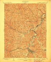
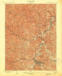
Clarksburg and its surrounding turnpikes serve as the hub of this 1902 survey, illustrating a landscape defined by its river valleys and early industrial transport networks. The West Fork River winds northward, its banks occupied by numerous coal and rail settlements including Lumberport, Shinnston, and Enterprise. This era represents a peak in the turnpike system, with the Middlebourne and Shinnston Turnpike and the Clarksburg and Buckhannon Turnpike providing critical overland connections alongside the expanding Baltimore and Ohio R. R.
Find a feature on this map
107 named features on this map. Tap any name to fly to it.
Don’t see what you’re looking for? This feature index may not catch every label — zoom into the map to look around manually.
Map Details
Editions of this 1902 Clarksburg Map
3 editions found
Other maps of this area

1902 · Fairmont
USGS Topo · 1:62,500

1903 · Littleton
USGS Topo · 1:62,500

1904 · Philippi
USGS Topo · 1:62,500

1904 · Blacksville
USGS Topo · 1:62,500

1904 · Weston
USGS Topo · 1:62,500

1904 · Vadis
USGS Topo · 1:62,500

1905 · Mannington
USGS Topo · 1:62,500

1905 · Centerpoint
USGS Topo · 1:62,500

1905 · Littleton
USGS Topo · 1:62,500

1910 · Clarksburg
USGS Topo · 1:62,500