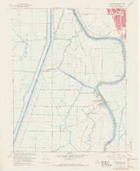
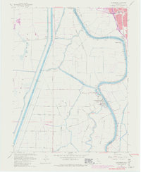
1967 Map of Clarksburg
USGS Topo · Published 1969About this map
Clarksburg sits as a primary hub of the Sacramento Delta during the late 1960s, defined by the winding course of the Sacramento River and the industrial utility of the Sacramento River Deep Water Ship Channel. The landscape is a complex network of drainage and transport, where the Sacramento Northern railroad cuts through reclaimed lands like Merritt Island. Local infrastructure supports both agriculture and emerging industry, evidenced by numerous Gas Wells and the Borges Clarksburg Airport.
Find a feature on this map
37 named features on this map. Tap any name to fly to it.
Don’t see what you’re looking for? This feature index may not catch every label — zoom into the map to look around manually.
Map Details
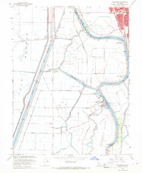
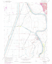
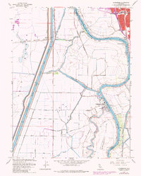
Editions of this 1967 Clarksburg Map
5 editions found
Other maps of this area

1891 · Sacramento
USGS Topo · 1:125,000

1892 · Sacramento
USGS Topo · 1:125,000

1893 · Sacramento
USGS Topo · 1:125,000

1894 · Lodi
USGS Topo · 1:125,000

1902 · Fairoaks
USGS Topo · 1:62,500

1907 · Davisville
USGS Topo · 1:62,500

1908 · Courtland
USGS Topo · 1:62,500

1909 · Florin
USGS Topo · 1:31,680

1910 · Bruceville
USGS Topo · 1:31,680

1911 · Brighton
USGS Topo · 1:31,680