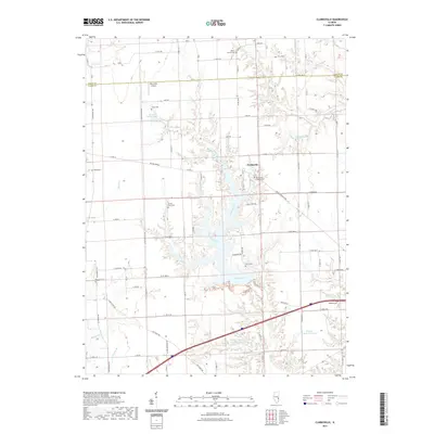
2021 Map of Clarksville
USGS Topo · Published 2021About this map
The settlement of Clarksville serves as a central point in this rural landscape where the border of Edgar Co Clark Co divides the northern farmlands from the southern wooded draws. The drainage of Mill Creek dominates the topography, carving a series of intricate valleys that feed into the Mill Cr Impoundment Number 2 Reservoir. This network of water including Sevenmile Creek and Ennis Creek dictates the winding paths of rural routes like E Mill Creek Rd.
Find a feature on this map
60 named features on this map. Tap any name to fly to it.
Don’t see what you’re looking for? This feature index may not catch every label — zoom into the map to look around manually.
Map Details
Editions of this 2021 Clarksville Map
This is the sole edition of this map. No revisions or reprints were ever made.
Other maps of this area

1932 · Marshall
USGS Topo · 1:62,500

1936 · Casey
USGS Topo · 1:48,000

1937 · Marshall
USGS Topo · 1:62,500

1942 · Casey
USGS Topo · 1:62,500

1943 · Casey
USGS Topo · 1:62,500

1946 · Kansas
USGS Topo · 1:62,500

1947 · Paris
USGS Topo · 1:62,500

1949 · Kansas
USGS Topo · 1:62,500

1949 · Paris
USGS Topo · 1:62,500

1953 · Indianapolis
USGS Topo · 1:250,000