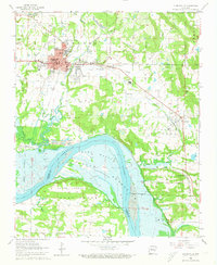
1962 Map of Clarksville
USGS Topo · Published 1973About this map
Clarksville anchors this Johnson County survey, appearing as a developed hub during the early 1960s. The campus of the College of the Ozarks and local schools like Michie Sch and Grace James Sch reflect the community's mid-century civic growth. To the south, the landscape is transformed by the broad reach of the Arkansas River-Dardanelle Reservoir, which dominates the southern sections.
Find a feature on this map
44 named features on this map. Tap any name to fly to it.
Don’t see what you’re looking for? This feature index may not catch every label — zoom into the map to look around manually.
Map Details
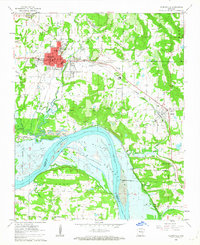
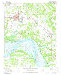
Editions of this 1962 Clarksville Map
3 editions found
Other maps of this area

1887 · Magazine Mountain #1
USGS Topo · 1:62,500

1887 · Magazine Mountain
USGS Topo · 1:62,500

1888 · Dardanelle #2
USGS Topo · 1:62,500

1889 · Ozone
USGS Topo · 1:62,500

1890 · Magazine Mountain
USGS Topo · 1:125,000

1890 · Dardanelle
USGS Topo · 1:125,000

1906 · Batson
USGS Topo · 1:62,500

1934 · Ozone
USGS Topo · 1:62,500

1936 · Ozone
USGS Topo · 1:62,500

1956 · Russellville
USGS Topo · 1:250,000