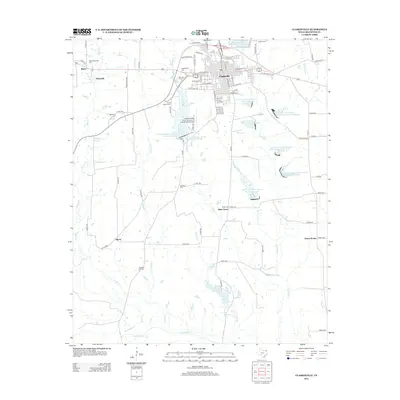
2013 Map of Clarksville
USGS Topo · Published 2013About this map
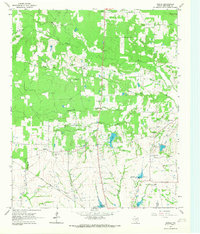
Clarksville serves as the focal point of this Red River County survey, showing a well-defined street grid centered on E Broadway St and W Broadway St. The surrounding countryside is characterized by a high density of historical burial grounds, which offer significant value for genealogical research. These include Fairview Cem, Harris Chapel Cem, and McKenzie Cem, scattered among smaller settlements like Mabry, Batesville, and Sherry.
Find a feature on this map
101 named features on this map. Tap any name to fly to it.
Don’t see what you’re looking for? This feature index may not catch every label — zoom into the map to look around manually.
Map Details
Editions of this 2013 Clarksville Map
This is the sole edition of this map. No revisions or reprints were ever made.
Other maps of this area
1950 · White Rock
USGS Topo · 1:24,000
1950 · Annona
USGS Topo · 1:24,000
1951 · Annona
USGS Topo · 1:24,000
1951 · White Rock
USGS Topo · 1:24,000

1953 · Texarkana
USGS Topo · 1:250,000

1956 · Texarkana
USGS Topo · 1:250,000
1964 · Bagwell
USGS Topo · 1:24,000
1964 · Cuthand
USGS Topo · 1:24,000
1964 · Bogata
USGS Topo · 1:24,000
1964 · Dimple
USGS Topo · 1:24,000