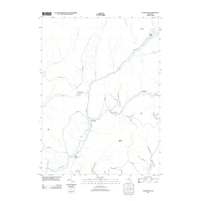
2013 Map of Claryville
USGS Topo · Published 2013About this map
Claryville serves as the focal point of this Catskill mountain region where the W Br Neversink River and E Br Neversink River converge to form the Neversink River. The landscape is defined by its water system and high ridges, featuring the prominent Denman Mountain and Blue Hill. Remote settlements and recreation sites are scattered throughout the valleys, including the historic Halls Mills Covered Bridge and seasonal camps such as Camp Wawayanda and Camp Pine.
Find a feature on this map
61 named features on this map. Tap any name to fly to it.
Don’t see what you’re looking for? This feature index may not catch every label — zoom into the map to look around manually.
Map Details
Editions of this 2013 Claryville Map
This is the sole edition of this map. No revisions or reprints were ever made.
Other maps of this area

1900 · Phoenicia
USGS Topo · 1:62,500

1901 · Margaretville
USGS Topo · 1:62,500

1903 · Phoenicia
USGS Topo · 1:62,500

1903 · Slide Mountain
USGS Topo · 1:62,500

1904 · Margaretville
USGS Topo · 1:62,500

1905 · Slide Mountain
USGS Topo · 1:62,500

1910 · Neversink
USGS Topo · 1:62,500

1942 · Neversink
USGS Topo · 1:62,500

1942 · Lackawack
USGS Topo · 1:24,000

1943 · Peekamoose Mountain
USGS Topo · 1:31,680