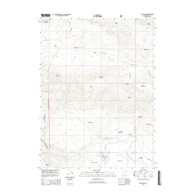
2014 Map of Clay Basin
USGS Topo · Published 2014About this map
The Green River carves through the southern portion of this high-desert landscape, defining the transition between the Uinta Mountains and the northern plateau country. The settlement of Browns Park sits near the river, served by a precise grid of local streets including W Main St and S Sunrise Ln. This area, historically significant as a secluded valley for pioneers and outlaws, is anchored by the Browns Park National Wildlife Refuge Reservoir, which provides a managed water source amidst the arid environment.
Find a feature on this map
44 named features on this map. Tap any name to fly to it.
Don’t see what you’re looking for? This feature index may not catch every label — zoom into the map to look around manually.
Map Details
Editions of this 2014 Clay Basin Map
This is the sole edition of this map. No revisions or reprints were ever made.
Other maps of this area

1885 · Ashley
USGS Topo · 1:250,000

1952 · Warren Draw
USGS Topo · 1:24,000

1952 · Willow Creek Butte
USGS Topo · 1:24,000

1952 · Swallow Canyon
USGS Topo · 1:24,000

1952 · Clay Basin
USGS Topo · 1:24,000

1952 · Goslin Mtn
USGS Topo · 1:24,000

1954 · Vernal
USGS Topo · 1:250,000

1954 · Rock Springs
USGS Topo · 1:250,000

1957 · Currant Creek Ranch
USGS Topo · 1:62,500

1958 · Vernal
USGS Topo · 1:250,000