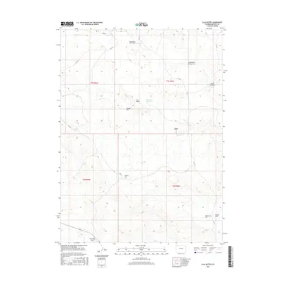
2016 Map of Clay Buttes
USGS Topo · Published 2016About this map
Clay Buttes and the nearby Clay Buttes Reservoir anchor this arid Moffat County landscape, where the drainage patterns of the high desert define the terrain. The map details a complex network of seasonal washes and draws, including North Fork Sand Wash and Yellow Cat Wash, which carve through the plateau. Significant topographic features like Pigpen Hill and Monument Hill provide orientation in a region largely defined by its vertical relief and water-scarce environment. The infrastructure consists primarily of remote county roads like Co RD 80 and Co RD 126, which follow the natural contours of the land. Historic land use is evidenced by names like Sheepherder Springs Draw and Two Bar Springs, hinting at the area's grazing history and the vital importance of scattered water sources in this part of northwestern Colorado.
Find a feature on this map
21 named features on this map. Tap any name to fly to it.
Don’t see what you’re looking for? This feature index may not catch every label — zoom into the map to look around manually.
Map Details
Editions of this 2016 Clay Buttes Map
This is the sole edition of this map. No revisions or reprints were ever made.
Other maps of this area

1954 · Vernal
USGS Topo · 1:250,000

1958 · Vernal
USGS Topo · 1:250,000

1960 · Vernal
USGS Topo · 1:250,000

1960 · Lone Mountain
USGS Topo · 1:62,500

1966 · G Spring
USGS Topo · 1:24,000
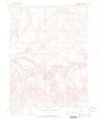
1966 · Limestone Hill
USGS Topo · 1:24,000

1966 · Sheephead Basin
USGS Topo · 1:24,000

1969 · Sheepherder Springs
USGS Topo · 1:24,000
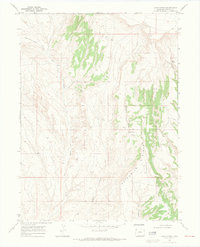
1969 · Lang Spring
USGS Topo · 1:24,000
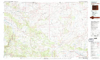
1979 · Canyon of Lodore
USGS Topo · 1:100,000