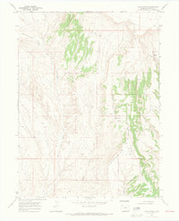
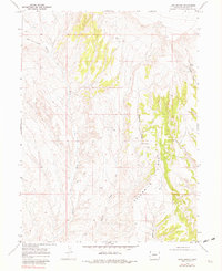
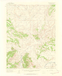
1969 Map of Lang Spring
USGS Topo · Published 1973About this map
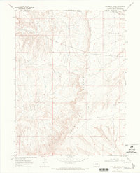
Sevenmile Ridge dominates this high-desert portion of Moffat County, forming a prominent topographic spine that separates the complex drainages of Dugout Draw and Sevenmile Draw. In this 1969 survey, the landscape is defined by its arid hydrology, where ephemeral watercourses like Yellow Cat Wash and Lake Draw carve deep paths through the terrain. Evidence of historical land use and resource exploration is sparse but present, notably at a recorded Drill Hole in the northern reaches and various unnamed Jeep Trails that provide the only mechanized access through the region. This survey captures the area’s remote character before significant modern development, centering on vital water sources like Lang Spring and Spence Spring that historically sustained livestock and local travelers in an otherwise parched environment.
Find a feature on this map
13 named features on this map. Tap any name to fly to it.
Don’t see what you’re looking for? This feature index may not catch every label — zoom into the map to look around manually.
Map Details
Editions of this 1969 Lang Spring Map
3 editions found
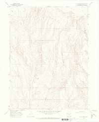
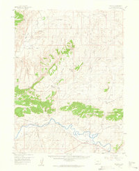
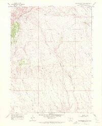
Other maps of this area

1954 · Vernal
USGS Topo · 1:250,000

1958 · Vernal
USGS Topo · 1:250,000
1958 · Maybell
USGS Topo · 1:62,500

1960 · Vernal
USGS Topo · 1:250,000
1960 · Lone Mountain
USGS Topo · 1:62,500
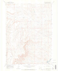
1969 · Reservoir Draw
USGS Topo · 1:24,000
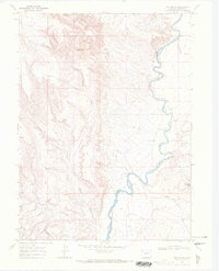
1969 · The Nipple
USGS Topo · 1:24,000
1969 · Sheepherder Springs
USGS Topo · 1:24,000
1969 · Coffeepot Spring
USGS Topo · 1:24,000
1969 · Powder Wash
USGS Topo · 1:24,000