
1969 Map of Reservoir Draw
USGS Topo · Published 1972About this map
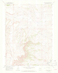
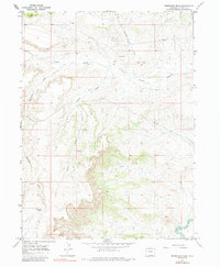
Little Snake River curves through the southeast corner of this arid landscape, a sharp contrast to the networks of intermittent drainage channels like Powder Wash and Ruedloff Draw that define the high desert topography. Published in the early 1970s, this survey documents the industrial footprint of resource extraction in northwestern Colorado, evidenced by scattered Drill Hole Wells and a linear Pipeline cutting across the terrain. The landscape is dominated by complex erosional features such as Horse Draw and Reservoir Draw, with Reservoir Spring providing a rare named water source. The proximity of the Wyoming border is noted at the northern edge, while the eastern margin marks a distance of Great Divide 20 Mi., placing this remote stretch of Moffat County within the broader context of the continental watershed.
Find a feature on this map
12 named features on this map. Tap any name to fly to it.
Don’t see what you’re looking for? This feature index may not catch every label — zoom into the map to look around manually.
Map Details
Editions of this 1969 Reservoir Draw Map
3 editions found
Other maps of this area

1954 · Vernal
USGS Topo · 1:250,000

1954 · Rock Springs
USGS Topo · 1:250,000

1958 · Vernal
USGS Topo · 1:250,000

1958 · Rock Springs
USGS Topo · 1:250,000

1960 · Vernal
USGS Topo · 1:250,000

1962 · Rock Springs
USGS Topo · 1:250,000
1969 · The Nipple SE
USGS Topo · 1:24,000

1969 · The Nipple
USGS Topo · 1:24,000
1969 · The Nipple NE
USGS Topo · 1:24,000

1969 · Powder Wash
USGS Topo · 1:24,000