
1969 Map of Powder Wash
USGS Topo · Published 1973About this map
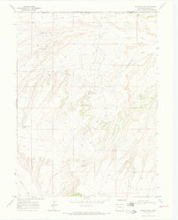
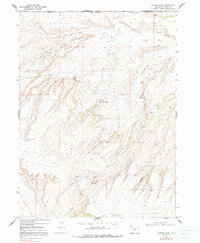
The Powder Wash Oil Field dominates this high-country landscape along the border of Wyoming and Colorado. Surveyed in the late 1960s, the map reveals an industrial network of resource extraction, characterized by numerous Oil Wells, a central Pumping Sta, and a Pipeline cutting across the terrain. Water sources are critical landmarks in this arid environment, represented by named locations such as West Dripping Rock Spring and Dins Hole Spring. Transport is limited to rugged tracks like the Jeep Trail and the steep incline of Beaver Slide. The physical geography is defined by a series of erosional features including Rock Draw, Eagle Draw, and the curiously named Ace in the Hole Draw. These draws converge toward Powder Wash, creating a complex drainage system that crosses the Sweetwater and Moffat County line.
Find a feature on this map
20 named features on this map. Tap any name to fly to it.
Don’t see what you’re looking for? This feature index may not catch every label — zoom into the map to look around manually.
Map Details
Editions of this 1969 Powder Wash Map
3 editions found
Other maps of this area

1954 · Vernal
USGS Topo · 1:250,000

1954 · Rock Springs
USGS Topo · 1:250,000

1958 · Vernal
USGS Topo · 1:250,000

1958 · Rock Springs
USGS Topo · 1:250,000

1960 · Vernal
USGS Topo · 1:250,000

1962 · Rock Springs
USGS Topo · 1:250,000

1969 · Reservoir Draw
USGS Topo · 1:24,000

1969 · The Nipple
USGS Topo · 1:24,000

1969 · Sheepherder Springs
USGS Topo · 1:24,000

1969 · Coffeepot Spring
USGS Topo · 1:24,000