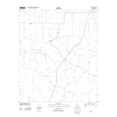
2012 Map of Clay
USGS Topo · Published 2012About this map
Cypress Bayou and its numerous tributaries, including Barnet Springs Cr and Shepherd Cr, define the drainage patterns of this North Louisiana landscape. The area is anchored by small rural centers such as Clay and Ansley, where local history is preserved in sites like Ansley Cem and Prospect Cem. The region's energy economy is marked by the Clay Gas Field, while the historic road network is represented by Old US HWY 167 and Old State Rd. To the north and west, the settlements of Woodville and Pleasant Hill sit among a grid of parish roads. Notable family and community landmarks such as Wesley Chapel Cem and Riser Cem provide essential data for genealogical research, while the courses of Redwine Cr and Sugar Cr illustrate the undulating terrain near the Jackson-Lincoln parish line.
Find a feature on this map
77 named features on this map. Tap any name to fly to it.
Don’t see what you’re looking for? This feature index may not catch every label — zoom into the map to look around manually.
Map Details
Editions of this 2012 Clay Map
This is the sole edition of this map. No revisions or reprints were ever made.
Other maps of this area

1947 · Bienville
USGS Topo · 1:62,500

1949 · Bienville
USGS Topo · 1:62,500

1950 · Ruston
USGS Topo · 1:62,500

1950 · Arcadia
USGS Topo · 1:62,500

1951 · Arcadia
USGS Topo · 1:62,500

1951 · Ruston
USGS Topo · 1:62,500

1953 · Hodge
USGS Topo · 1:62,500

1955 · Shreveport
USGS Topo · 1:250,000

1956 · Shreveport
USGS Topo · 1:250,000

1984 · Shreveport
USGS Topo · 1:250,000