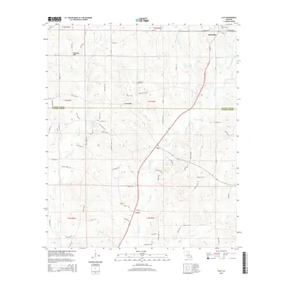
2015 Map of Clay
USGS Topo · Published 2015About this map
Clay and Ansley anchor the central and southern portions of this landscape, situated along the Lincoln Parish and Jackson Parish line. This region of North Louisiana is defined by a dense network of watercourses, including the prominent Cypress Bayou and smaller tributaries like Redwine Creek and Sugar Creek. Small rural communities such as Woodville and Pleasant Hill are connected by a grid of old routes like China Grove Road and Old State Road. Genealogists will find significant value in the documentation of local burial sites, including the Wesley Chapel Cemetery, Prospect Cemetery, and Ansley Cemetery. The terrain is marked by the transition from the southern edge of Ruston, where West Tennessee Avenue and South Vienna Street provide arterial access to the wooded hill country and bottomlands to the south.
Find a feature on this map
81 named features on this map. Tap any name to fly to it.
Don’t see what you’re looking for? This feature index may not catch every label — zoom into the map to look around manually.
Map Details
Editions of this 2015 Clay Map
This is the sole edition of this map. No revisions or reprints were ever made.
Other maps of this area

1947 · Bienville
USGS Topo · 1:62,500

1949 · Bienville
USGS Topo · 1:62,500

1950 · Ruston
USGS Topo · 1:62,500

1950 · Arcadia
USGS Topo · 1:62,500

1951 · Arcadia
USGS Topo · 1:62,500

1951 · Ruston
USGS Topo · 1:62,500

1953 · Hodge
USGS Topo · 1:62,500

1955 · Shreveport
USGS Topo · 1:250,000

1956 · Shreveport
USGS Topo · 1:250,000

1984 · Shreveport
USGS Topo · 1:250,000