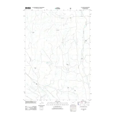
2012 Map of Clay Spur
USGS Topo · Published 2012About this map
The high plains of Weston County are defined here by a series of significant drainage systems and named landmarks, including Piney Ridge and Shale Hill. The settlement of Clay Spur sits at a junction of roads in the southwest corner, while Sweet Ranch occupies the northern reaches near Dry Cr. The landscape is etched with deep erosional features like Bertha Canyon and Berry Canyon, alongside numerous namesake draws such as Walcott Draw, Sunquist Draw, and Jordan Draw. These features, along with the Kellog Reservoir, illustrate the management of water resources in a region where seasonal flows like Skull Cr and Turner Cr dictate the layout of ranching operations and transportation routes such as Baroid Rd and Skull Creek Rd.
Find a feature on this map
22 named features on this map. Tap any name to fly to it.
Don’t see what you’re looking for? This feature index may not catch every label — zoom into the map to look around manually.
Map Details
Editions of this 2012 Clay Spur Map
This is the sole edition of this map. No revisions or reprints were ever made.
Other maps of this area

1898 · Sundance
USGS Topo · 1:125,000

1899 · Newcastle
USGS Topo · 1:125,000

1901 · Newcastle
USGS Topo · 1:125,000

1902 · Sundance
USGS Topo · 1:125,000

1918 · Moorcroft
USGS Topo · 1:125,000

1954 · Gillette
USGS Topo · 1:250,000

1955 · Newcastle
USGS Topo · 1:250,000

1955 · Gillette
USGS Topo · 1:250,000

1957 · Upton
USGS Topo · 1:62,500

1958 · Gillette
USGS Topo · 1:250,000