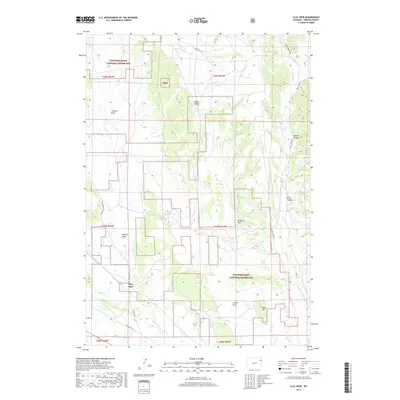
2017 Map of Clay Spur
USGS Topo · Published 2017About this map
Clay Spur sits along the Clayspur Rd and Old US Hwy 16 corridor, representing a localized hub in the expansive high plains of northeastern Wyoming. Much of the surrounding territory is managed as part of the Thunder Basin National Grassland, a landscape defined by its network of intermittent drainages like Skull Cr, Turner Cr, and E Iron Cr. The terrain is marked by numerous draws and ridges, including Johnson Draw, Walcott Draw, and Sunquist Draw, which illustrate the complex erosion patterns of the basin. Local landmarks like Piney Ridge and Shale Hill rise above the basin floor, while water features like the Kellog Reservoir suggest the historical necessity of water management for livestock and land use in this arid region.
Find a feature on this map
31 named features on this map. Tap any name to fly to it.
Don’t see what you’re looking for? This feature index may not catch every label — zoom into the map to look around manually.
Map Details
Editions of this 2017 Clay Spur Map
This is the sole edition of this map. No revisions or reprints were ever made.
Other maps of this area

1898 · Sundance
USGS Topo · 1:125,000

1899 · Newcastle
USGS Topo · 1:125,000

1901 · Newcastle
USGS Topo · 1:125,000

1902 · Sundance
USGS Topo · 1:125,000

1918 · Moorcroft
USGS Topo · 1:125,000

1954 · Gillette
USGS Topo · 1:250,000

1955 · Newcastle
USGS Topo · 1:250,000

1955 · Gillette
USGS Topo · 1:250,000

1957 · Upton
USGS Topo · 1:62,500

1958 · Gillette
USGS Topo · 1:250,000