Loading...
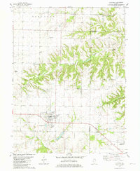
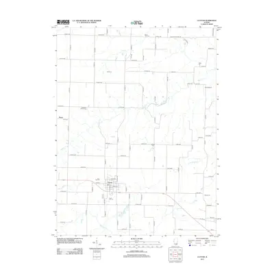
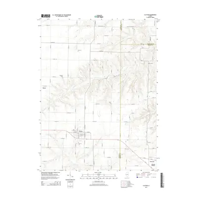
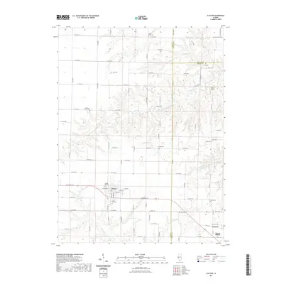
Loading map...1981 Map of Clayton
USGS Topo · Published 1981About this map
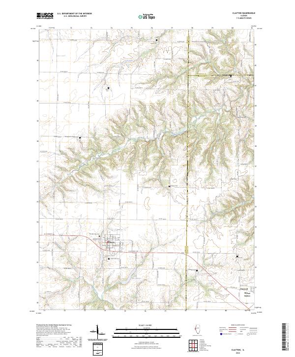
The intersection of agriculture and rural community life defines this pocket of Western Illinois, centered on the village of Clayton. Family-named cemeteries like Meints Cem, Sargent Cem, and Knight Cem dot the uplands between the branching ravines of Missouri Creek and the South Fork. These burial grounds, alongside the Mt Horeb Ch and the Evangelical Cem, provide essential anchor points for genealogists tracing 19th and 20th-century family lines in the area.
Find a feature on this map
33 named features on this map. Tap any name to fly to it.
Don’t see what you’re looking for? This feature index may not catch every label — zoom into the map to look around manually.
Map Details
Date Portrayed1981
Date Published1981
PublisherU.S. Geological Survey
Map TypeTopographic
Scale1:24,000
Physical Dimensions22 x 26.8 inches
Editions of this 1981 Clayton Map
This is the sole edition of this map. No revisions or reprints were ever made.
Historical Maps of Clayton Through Time
6 maps found

Featured Locations
Source Details
SourceU.S. Geological Survey
CopyrightPublic Domain