2022 Map of Clayton
USGS Topo · Published 2022About this map
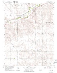
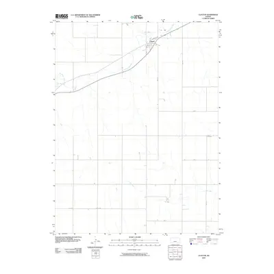
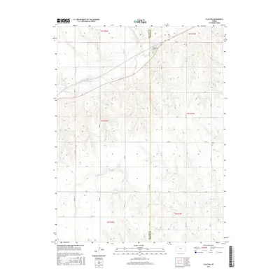
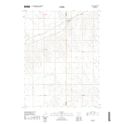
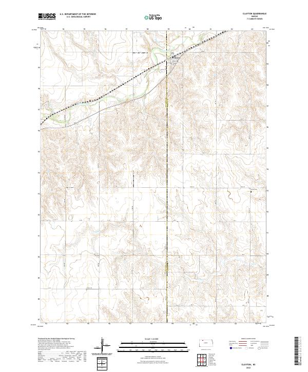
The settlement of Clayton serves as the focal point for this landscape along the border of Decatur and Norton Counties. Much of the local topography is defined by the winding course of Prairie Dog Cr and its tributaries, including Plum Cr and Big Timber Cr, which have carved deep drainage patterns into the surrounding high plains. In the north, the town plan is oriented around Kansas Ave and Railroad Ave, reflecting the historic influence of transit routes on the development of this rural community.
Find a feature on this map
26 named features on this map. Tap any name to fly to it.
Don’t see what you’re looking for? This feature index may not catch every label — zoom into the map to look around manually.
Map Details
Editions of this 2022 Clayton Map
This is the sole edition of this map. No revisions or reprints were ever made.
Historical Maps of Clayton Through Time
6 maps found