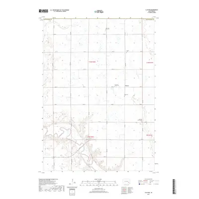
2017 Map of Clayton
USGS Topo · Published 2017About this map
The James River snakes through the southern portion of this landscape, its winding channel contrasted by the rigid section-line roads that define the region's agricultural layout. Central to this map is the small community of Clayton, which serves as a nexus for the surrounding rural territory in Hutchinson County. The settlement pattern is largely shaped by drainage from Elm Cr and Plum Cr, with the high ground between these waterways hosting a significant concentration of communal landmarks. Five distinct burial grounds, including Plum Creek Baptist Cem and Wolf Creek Congregational Cem, are distributed across the township, marking the heritage of various denominational congregations. The road network, primarily composed of numbered avenues like 427th Ave and local routes like Co Rd 11, facilitates movement between farmsteads and local spiritual centers such as Saint Peters Lutheran Cem.
Find a feature on this map
34 named features on this map. Tap any name to fly to it.
Don’t see what you’re looking for? This feature index may not catch every label — zoom into the map to look around manually.
Map Details
Editions of this 2017 Clayton Map
This is the sole edition of this map. No revisions or reprints were ever made.
Other maps of this area

1898 · Olivet
USGS Topo · 1:125,000

1899 · Alexandria
USGS Topo · 1:125,000

1955 · Sioux Falls
USGS Topo · 1:250,000

1957 · Tschetter Colony
USGS Topo · 1:24,000

1957 · Milltown
USGS Topo · 1:24,000

1957 · Clayton
USGS Topo · 1:24,000

1957 · Wolf Creek
USGS Topo · 1:24,000

1957 · Rockport Colony
USGS Topo · 1:24,000

1958 · Sioux Falls
USGS Topo · 1:250,000

1970 · Clayton NE
USGS Topo · 1:24,000