2021 Map of Clayton
USGS Topo · Published 2021About this map
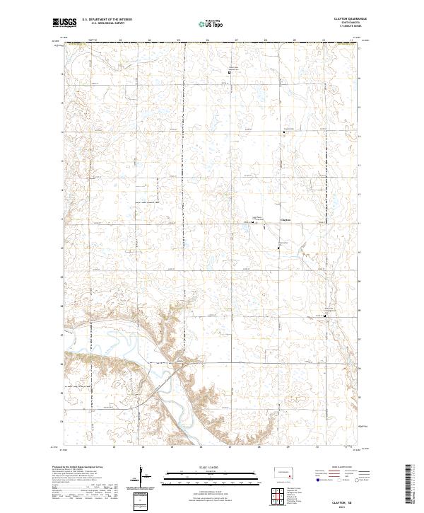
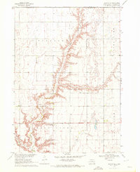
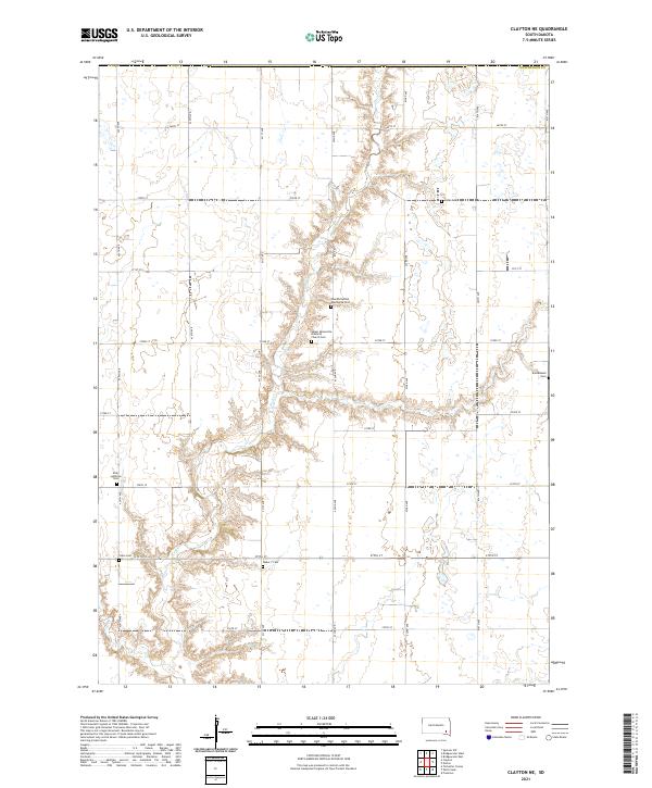
Clayton serves as the focal point of this agricultural landscape in Hutchinson County, situated within a grid of section roads like 427th Ave and 272nd St. The area's spiritual and genealogical history is well-preserved through several denominational burial grounds, including the Plum Creek Baptist Cem, Saint Peters Lutheran Cem, and the Wolf Creek Congregational Cem. These sites, along with the Rademacher Cem and Clayton Cem, are scattered across the townships of T100N R58W and T100N R57W. To the southwest, the terrain shifts as the James River meanders through the plains, joined by smaller tributaries such as Plum Cr and Elm Cr. The map reflects a deeply established farming community where the historical road network, including Co Rd 11, remains the primary infrastructure for the region.
Find a feature on this map
29 named features on this map. Tap any name to fly to it.
Don’t see what you’re looking for? This feature index may not catch every label — zoom into the map to look around manually.
Map Details
Editions of this 2021 Clayton Map
This is the sole edition of this map. No revisions or reprints were ever made.
Historical Maps of Pleasant Township Through Time
19 maps found
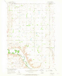
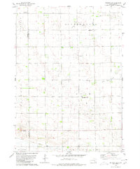
1957 Clayton
Hutchinson County, SD
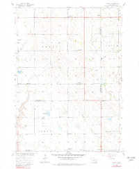
1957 Midway
Hutchinson County, SD
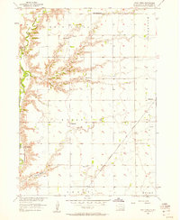
1957 Wolf Creek
Hutchinson County, SD
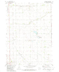
1970 Clayton NE
Hutchinson County, SD
1977 Oak Hollow
Hutchinson County, SD
1978 Oak Hollow
Hutchinson County, SD
1979 Delmont NE
Hutchinson County, SD
1979 Delmont SE
Hutchinson County, SD
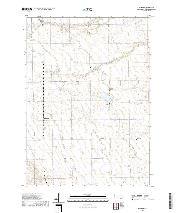
1980 Beardsley
Hutchinson County, SD
1980 Parkston SE
Hutchinson County, SD
2021 Beardsley
Hutchinson County, SD
2021 Clayton
Hutchinson County, SD
2021 Clayton NE
Hutchinson County, SD
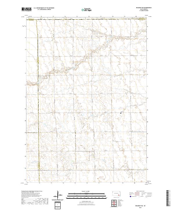
2021 Delmont NE
Hutchinson County, SD
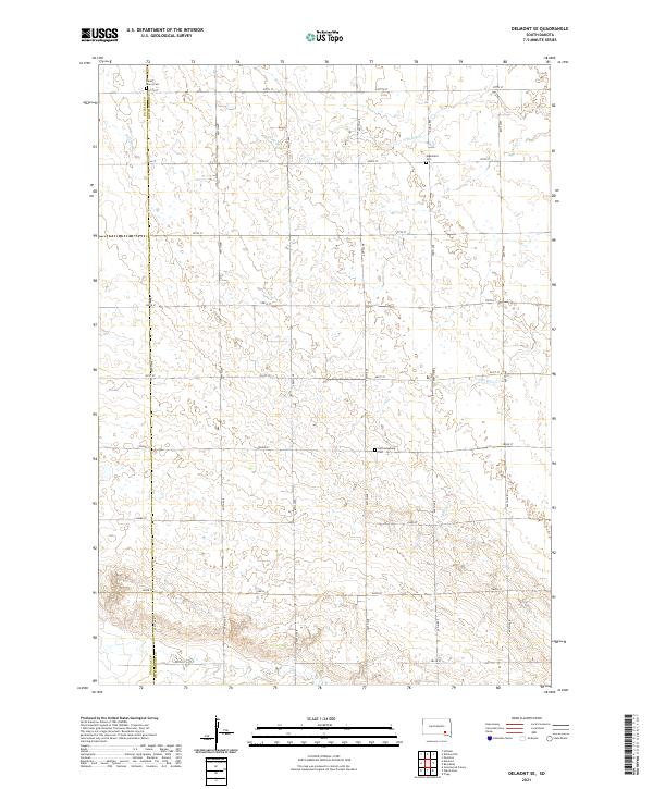
2021 Delmont SE
Hutchinson County, SD
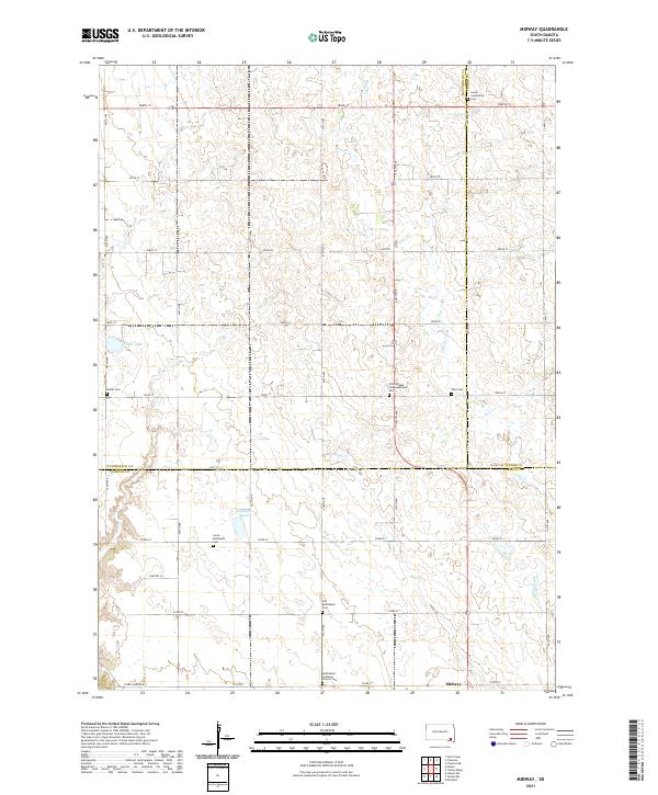
2021 Midway
Hutchinson County, SD
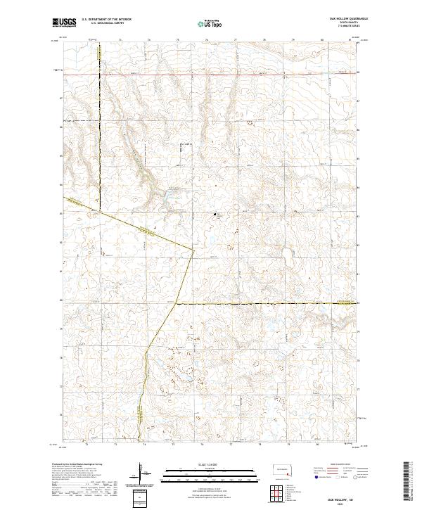
2021 Oak Hollow
Hutchinson County, SD
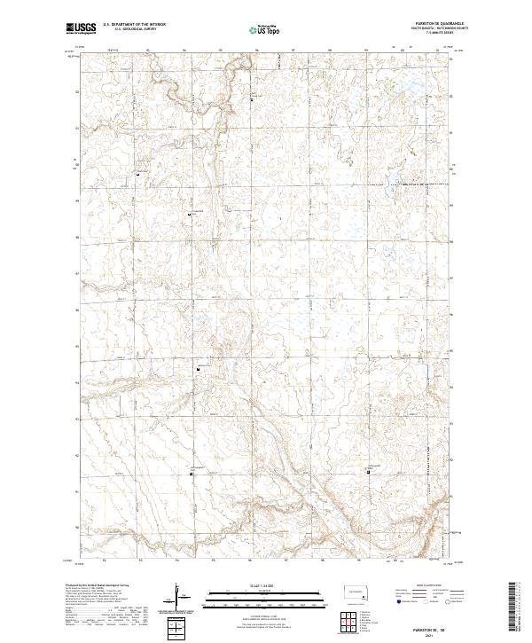
2021 Parkston SE
Hutchinson County, SD
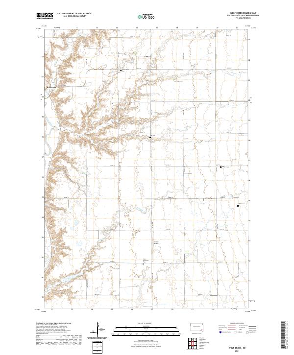
2021 Wolf Creek
Hutchinson County, SD
Featured Locations
- Taylor Township, SD
- Pleasant Township, SD
- Clayton Township, SD
- Wittenberg Township, SD
- Clayton, Clayton Township