
1978 Map of Clayton SW
USGS Topo · Published 1978About this map
The North Fork Solomon River meanders across this rural landscape where the boundaries of four counties—Decatur, Norton, Sheridan, and Graham—converge. This late-1970s survey documents a region defined by agricultural townships like Adell and Allodium, where the social fabric is anchored by landmarks such as the Allison Ch and a local Roadside Park. The map reveals an economy tied to both the land and its underlying resources, showing numerous Oil Wells and extractive sites including a Sandpit, a Quarry, and a Mill. These features, alongside the network of section-line roads, illustrate the post-war development of the High Plains, balancing traditional farming with the mid-century expansion of the Kansas oil industry.
Find a feature on this map
17 named features on this map. Tap any name to fly to it.
Don’t see what you’re looking for? This feature index may not catch every label — zoom into the map to look around manually.
Map Details
Editions of this 1978 Clayton SW Map
This is the sole edition of this map. No revisions or reprints were ever made.
Other maps of this area

1954 · Goodland
USGS Topo · 1:250,000

1956 · Goodland
USGS Topo · 1:250,000

1957 · Goodland
USGS Topo · 1:250,000

1978 · Clayton
USGS Topo · 1:24,000
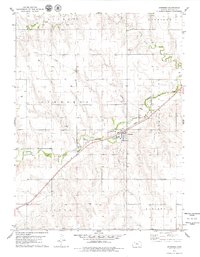
1978 · Jennings
USGS Topo · 1:24,000

1978 · Allison
USGS Topo · 1:24,000

1978 · Lenora West
USGS Topo · 1:24,000
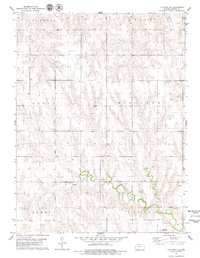
1978 · Clayton NE
USGS Topo · 1:24,000

1979 · Lucerne
USGS Topo · 1:24,000

1979 · Hoxie NE
USGS Topo · 1:24,000